


Hiking the Humbug Mountain Loop Trail on the Oregon Coast
Distance: 5.6 miles / 9.0 km
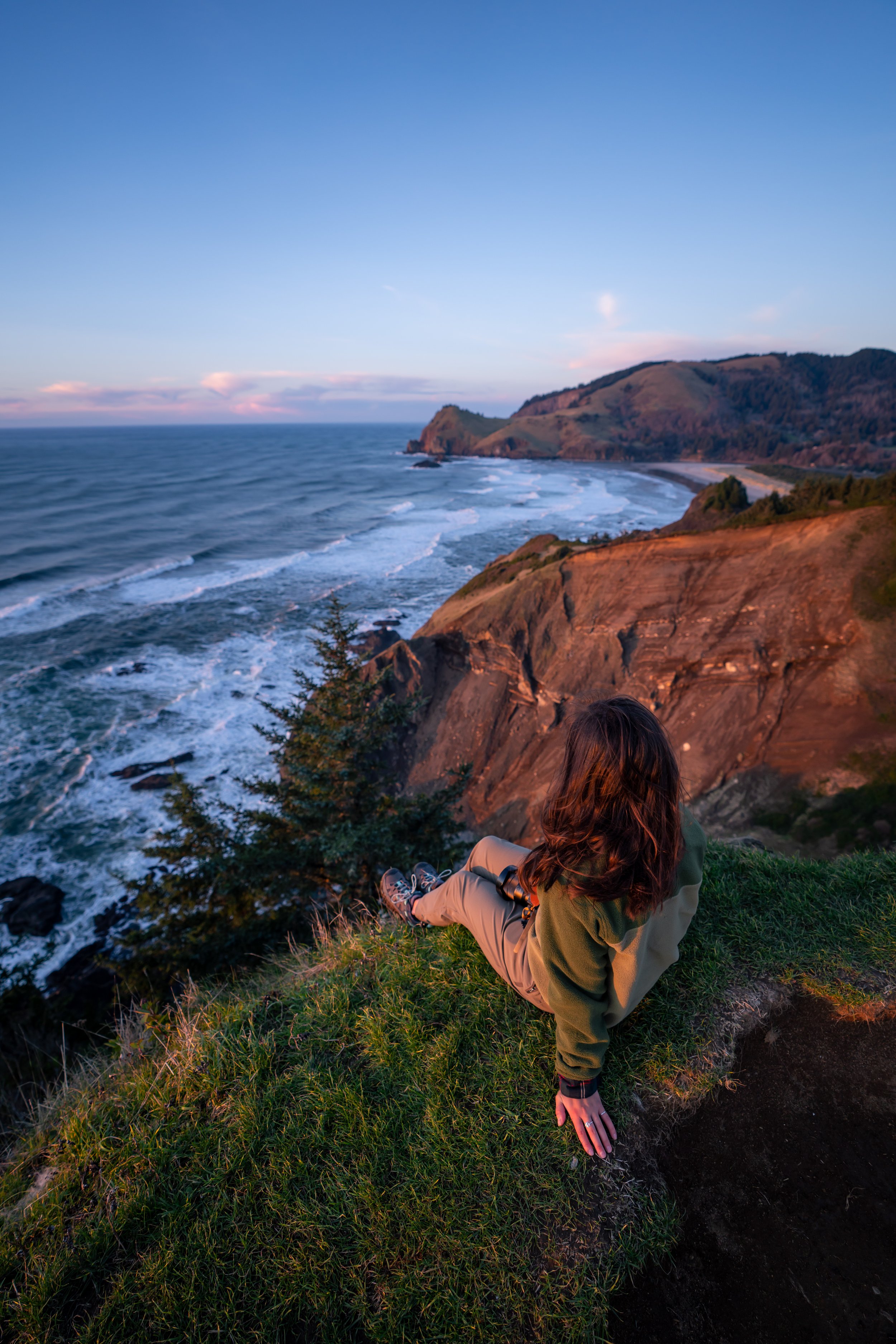
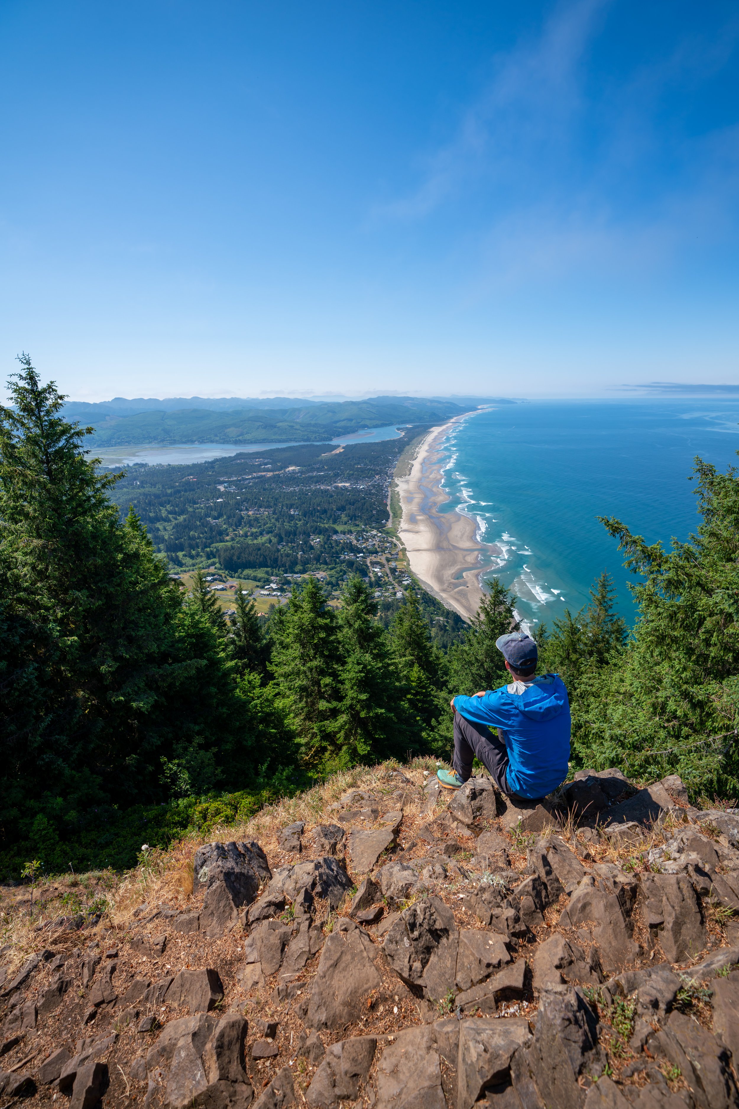
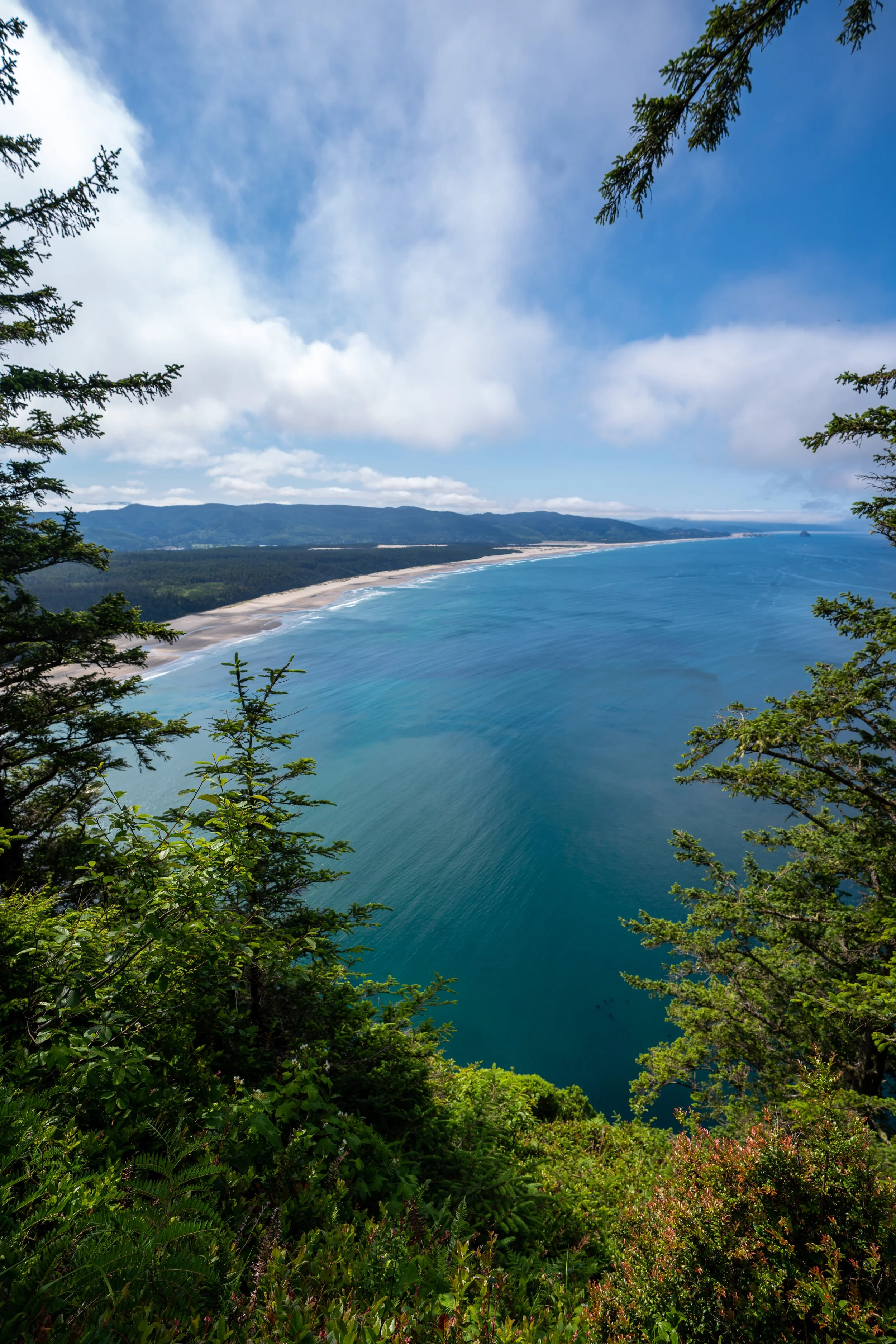
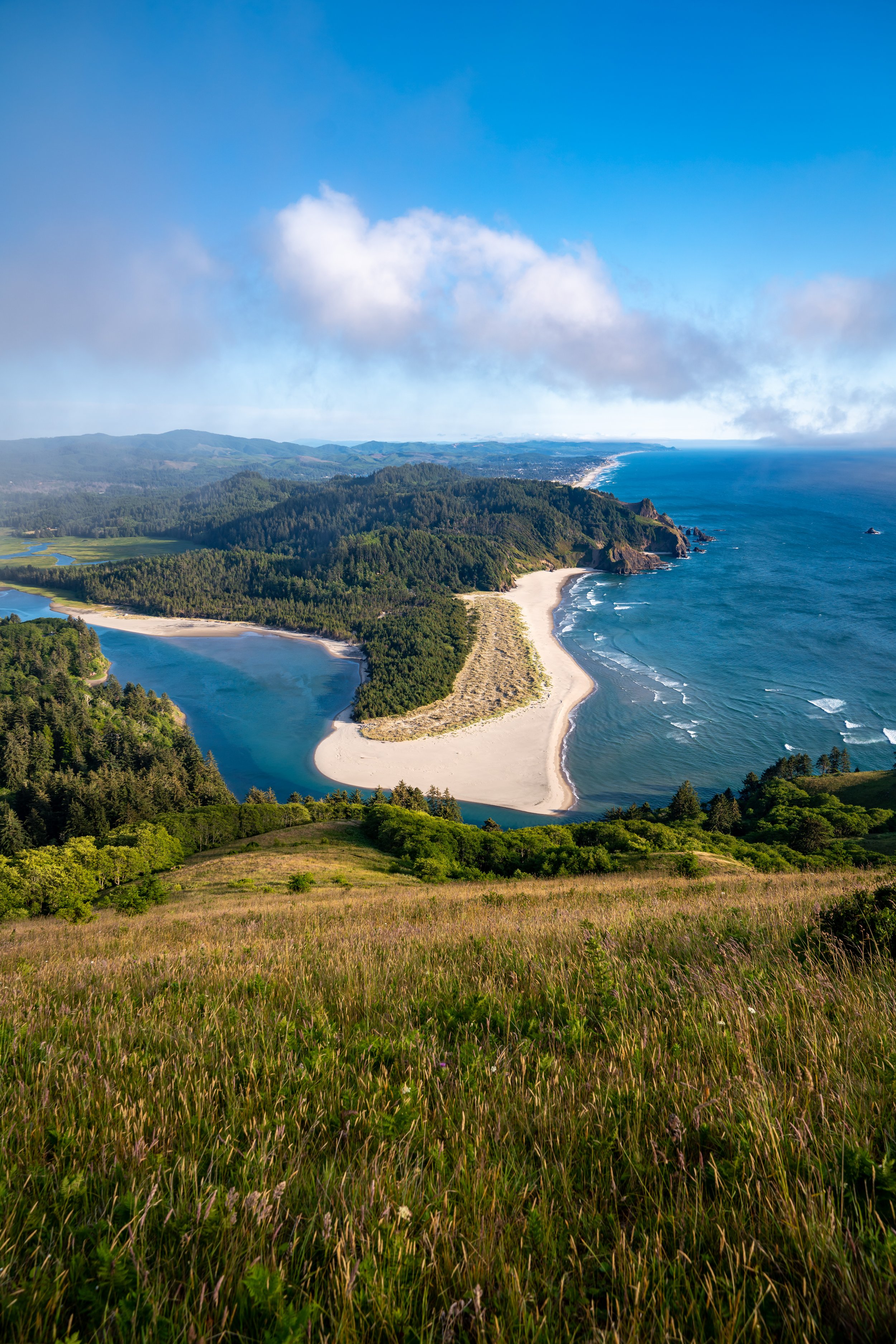
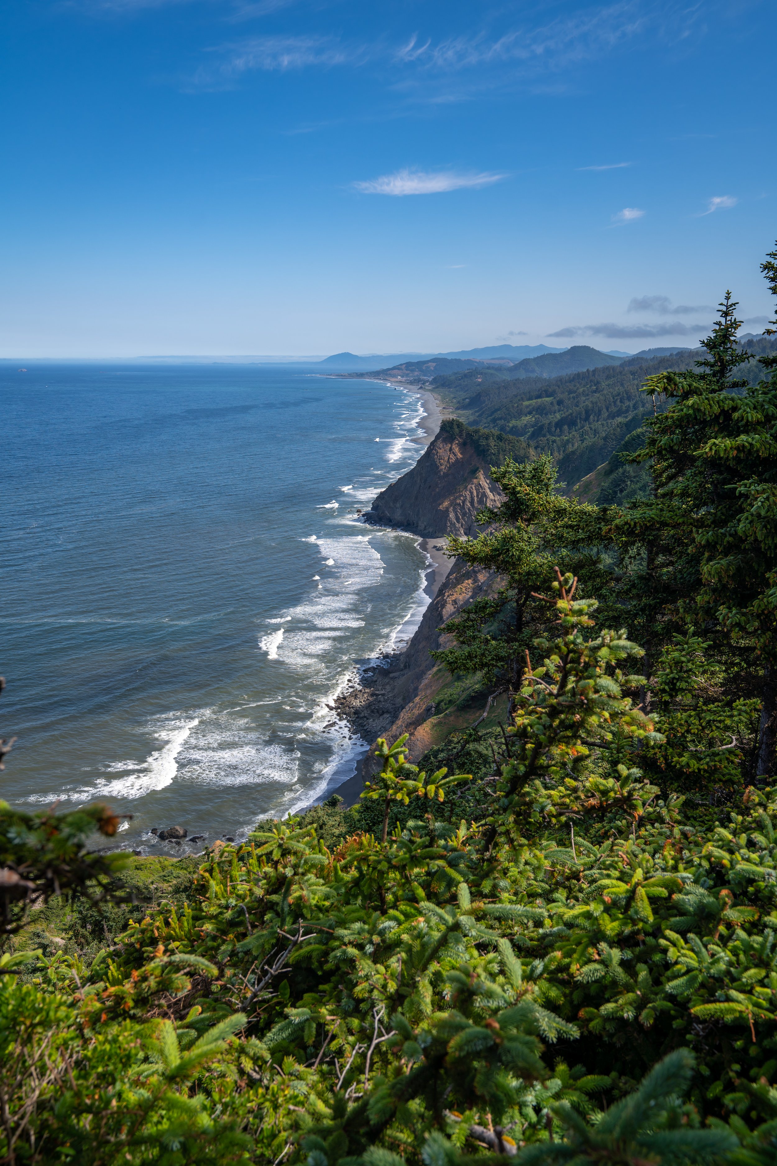
Humbug Mountain in Port Orford, Oregon, is one of just a few hikes on the Oregon Coast that climbs to the summit of a true peak. The other most notable is Neahkahnie (or Neah-Kah-Nie) Mountain in Manzanita.
By this, I mean that most hikes along the Oregon Coast simply wind their way up and down the rugged coastline, but few climb to the summit of any mountain.
That being said, the Humbug Mountain Trail, also called the Humbug Mountain Loop Trail, ascends to a beautiful south-facing overlook above the southern Oregon Coast by way of one of two different routes, which are commonly combined to create a loop—the same loop referred to in this article.
Humbug Mountain Trailhead Parking
Parking for the Humbug Mountain Loop Trail is located in a large parking lot just off the Oregon Coast Highway on the mountain side of U.S. 101.
Google Maps Directions: Humbug Mountain Trailhead
Hiking Checklist - Oregon Coast
Black bears can be found up and down the Oregon Coast, but hiking with or without bear spray is truly up to your own discretion and comfort level when adventuring in black bear territory.
Furthermore, here is a complete list of must-have things that you will want for any hike on the Oregon Coast.
Bear Spray & Holster - If you aren’t flying, don’t rent bear spray! It’s a waste of money. Prepare ahead of time by buying your own, as this may be one of the most important items on this list.
Osprey 3L Water Bladder - The Osprey 3L water bladder is the most universal hiking and backpacking water bladder on the market, and it’s my go-to because of the slide-off seal that allows it to be quickly filled from the top. Additionally, individual parts are easily replaceable, such as the bite valve.
Black Diamond Headlamp - Personally, I recommend the Black Diamond Storm because it is one of the brightest, lightest, and longest-lasting headlamps on the market—and trust me, the weight-to-battery-life ratio really does matter!
Hiking / Trail Running Shoes - Depending on the type of trail, I prefer to use either the Keen Targhee for longer, more rugged hiking or the HOKA Zinal Trail-Running Shoe for lighter, less intense trails. In either case, both have been amazing to me for many years across countless environments, and both can be found in men’s and women’s sizes. - (Men’s Keen / Women’s Keen) (Men’s HOKA / Women’s HOKA)
Blister / Heel Protectors - I swear by these cheap, amazing heel protectors to prevent blisters for nearly every kind of hiking and backpacking that I do!
Waterproof Rain Shell - You never know when it may rain, and I’ve learned over the years that a rain shell is far better than a rain jacket. By this, I mean that it’s best to have something that the water will roll right off of, which is why I recommend the Patagonia Torrentshell 3L available in both men’s and women’s sizes.
High SPF Sunscreen - Packing high-SPF sunscreen is a must for long days outside!


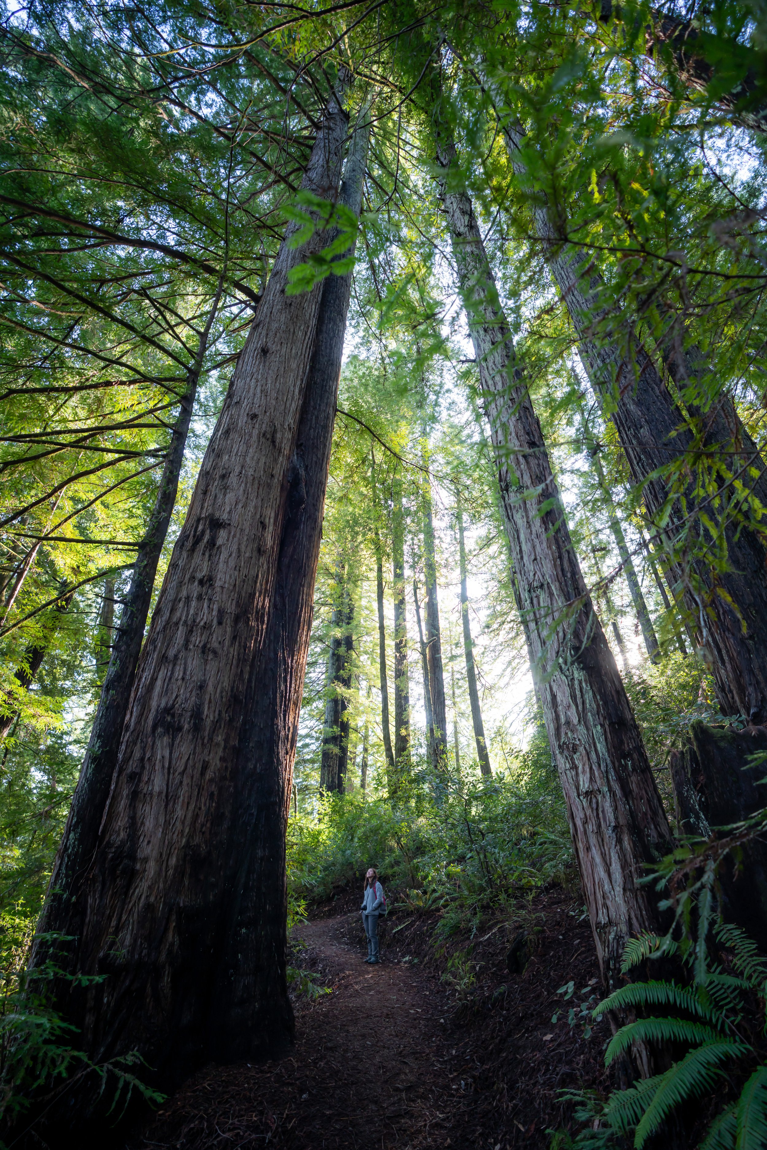
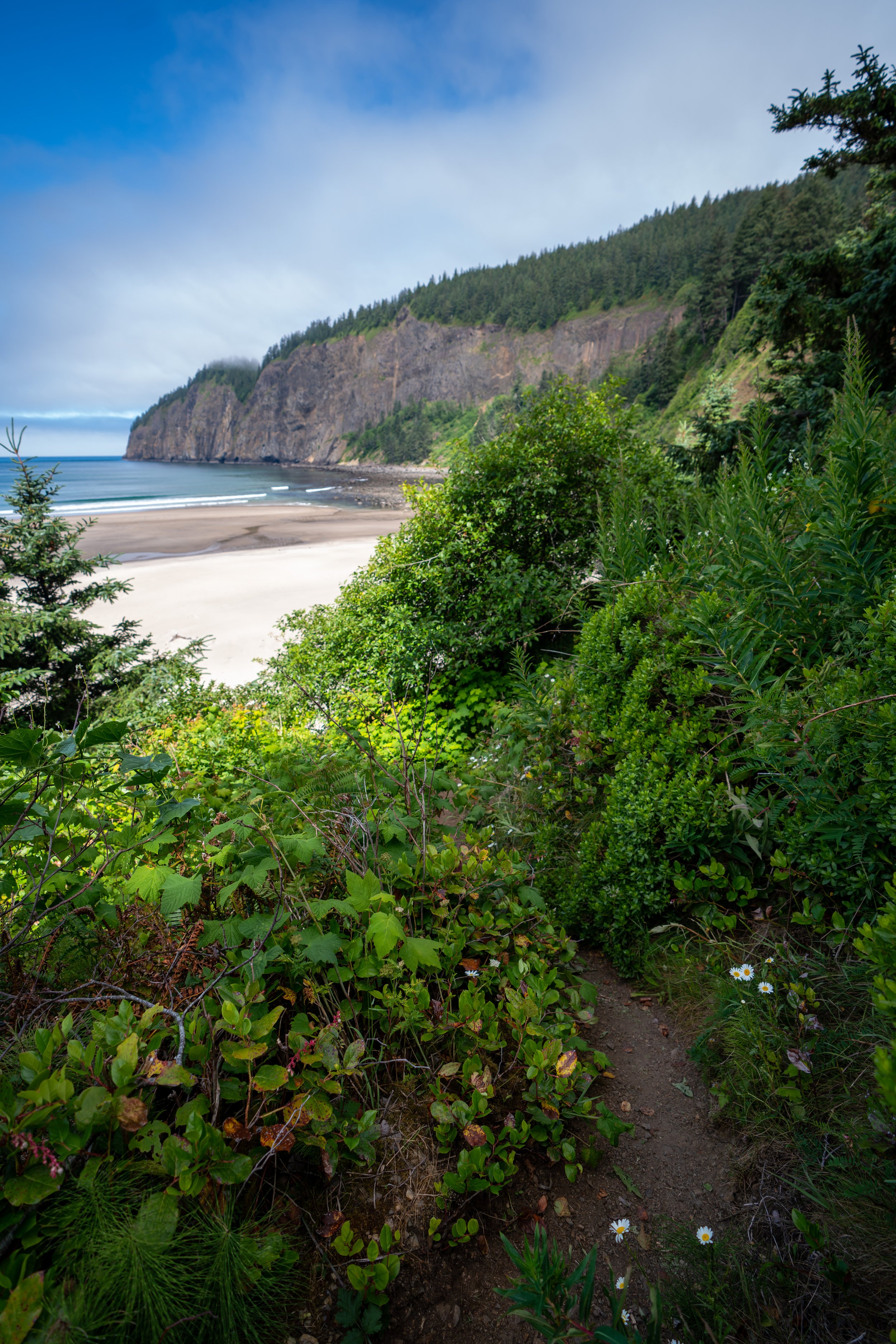
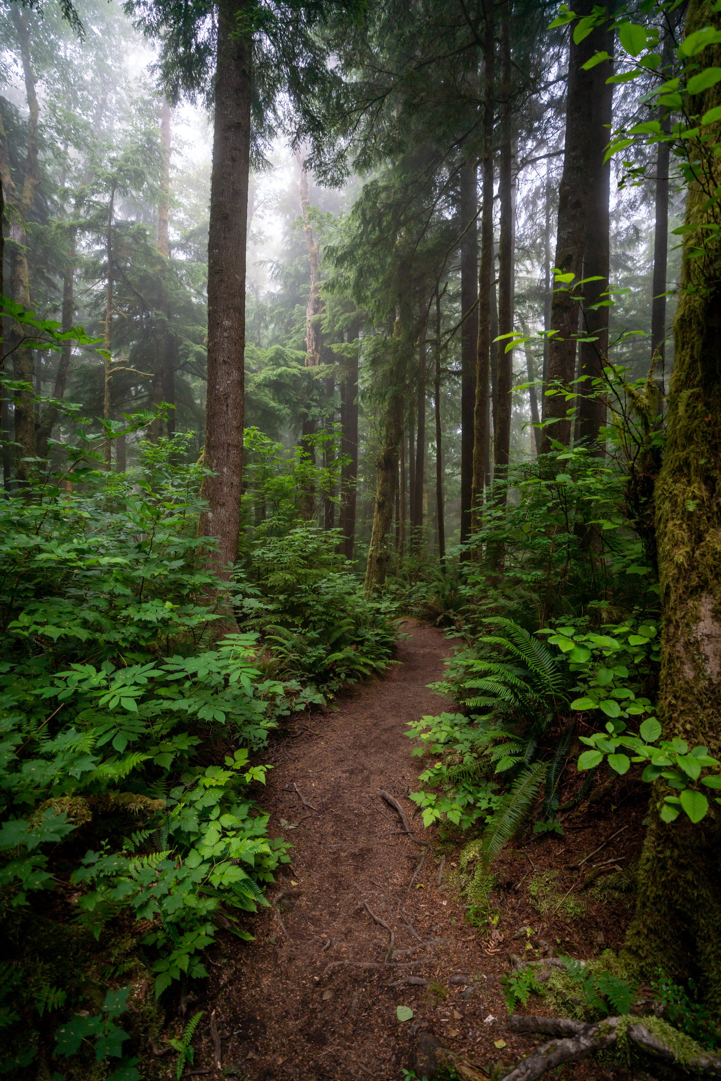
Hiking the Humbug Mountain Loop Trail
In my opinion, the first 0.5 miles (0.8 km) of Humbug Mountain before the loop junction felt like the steepest sections of the trail.
From what I recorded, this distance seems to be a little bit of an overestimation, with the East Humbug Loop being slightly longer.
Regardless, Humbug Mountain is an entirely uphill hike from the trailhead to the summit.
Humbug Mountain proved to be one of the best marked trails on the Oregon Coast, as these distance markers could be found on the entire trail.
Eventually, the trail crosses over a stream, which may or may not be flowing.
This is the same stream that parallels the trail shortly after beginning the hike.
Humbug Mountain Loop Trail
At about 0.9 miles (1.4 km) into the trail, the Humbug Mountain Trail splits into both an east and west loop that both connect just prior to the summit.
I don’t think one trail is necessarily easier or harder than the other. Therefore, I highly recommend doing the loop, so that you can see different parts of the mountain on the way up and down.
West Humbug Loop Trail
Distance: 1.8 miles / 2.9 km
On this hike, I decided to climb up Humbug on the West Summit Trail and return later on the East Summit Trail.
Humbug Mountain Summit Junction
At the top of the West and East Humbug Summit Trail, the loop comes together at the area in the photo below.
Go right at the split to reach the summit of Humbug Mountain only, 0.1 miles (0.2 km) ahead. The route to the left is the start of the East Humbug Loop.
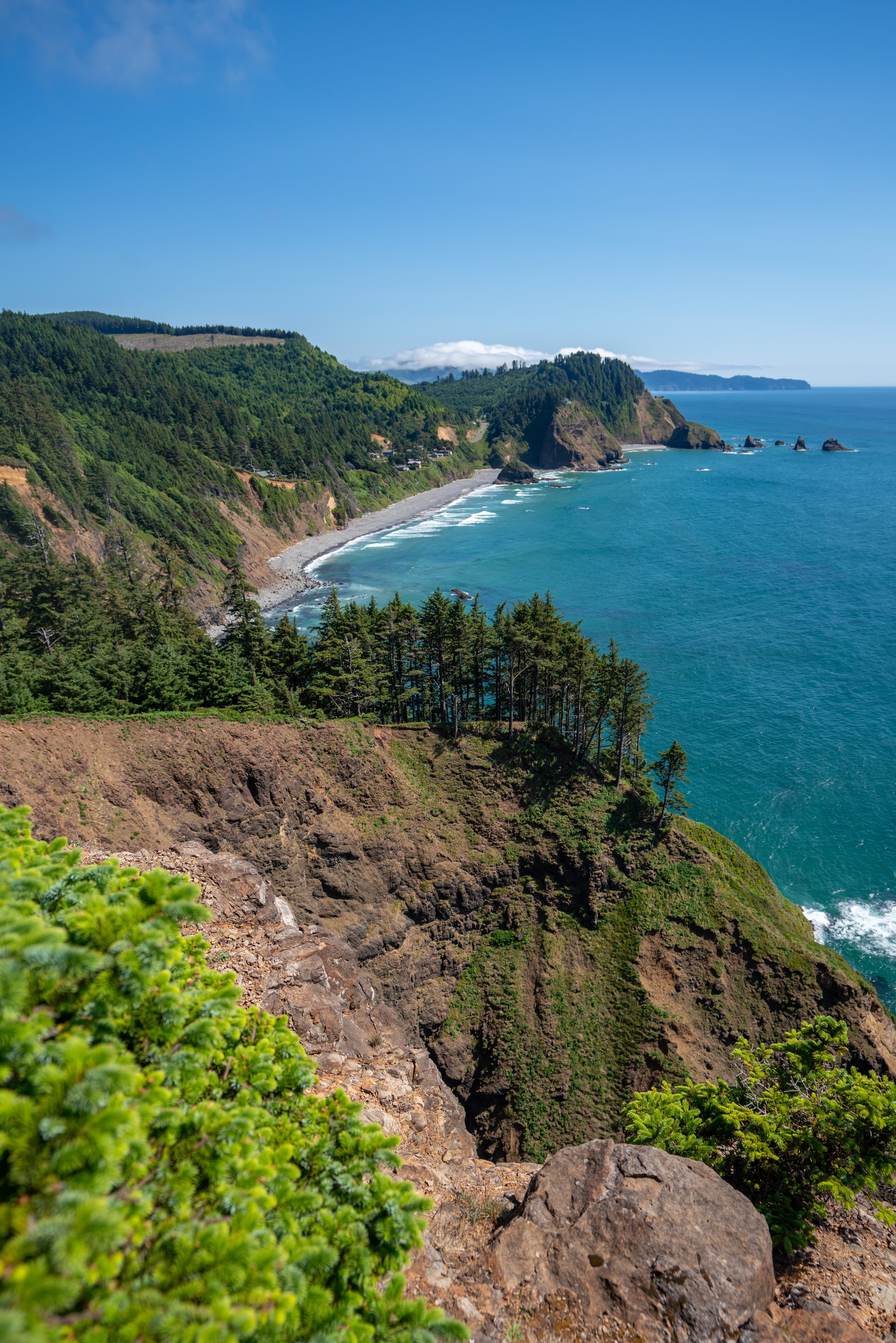
Summit of Humbug Mountain
The summit of Humbug Mountain is 1,756 ft. (535 m) in elevation.
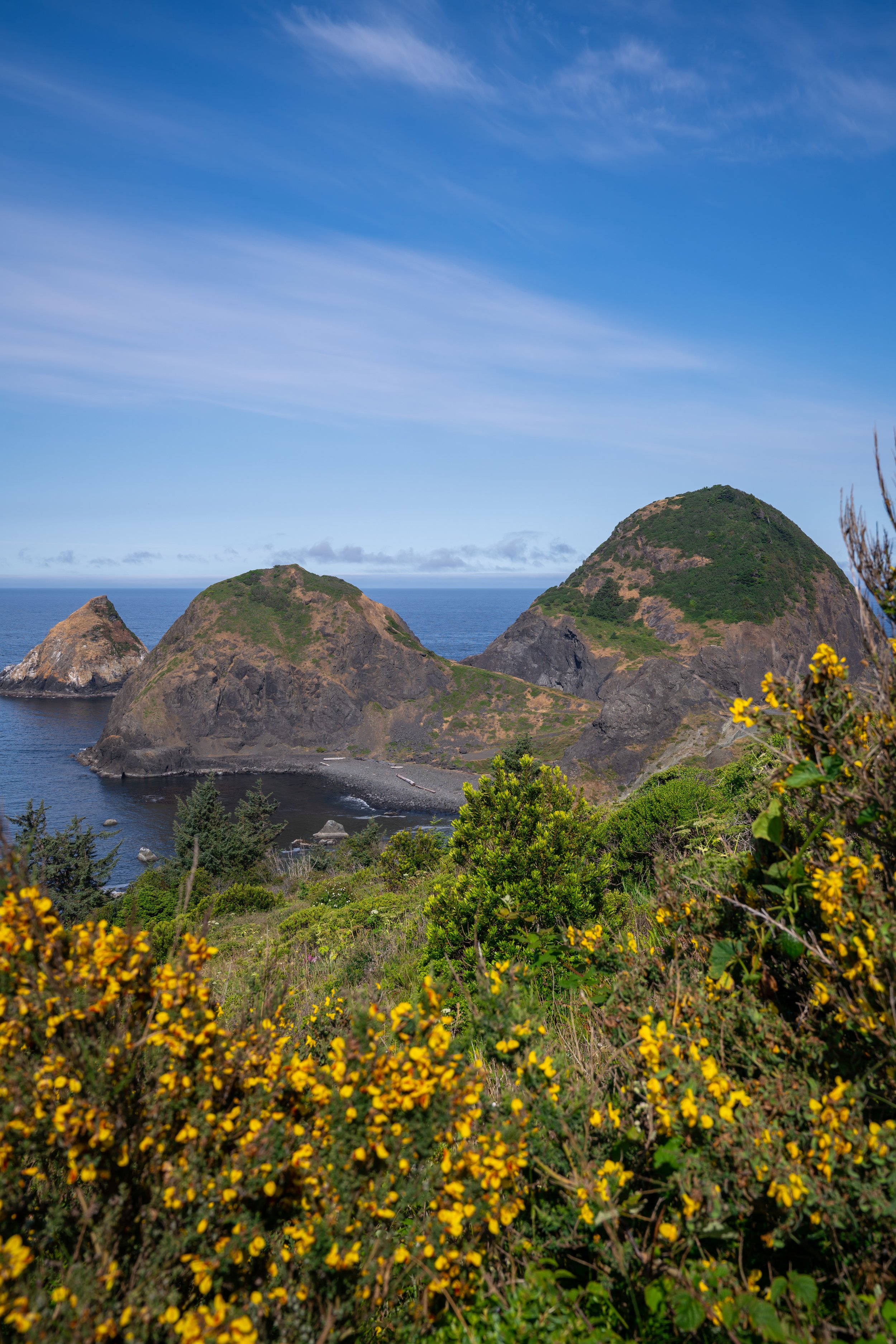
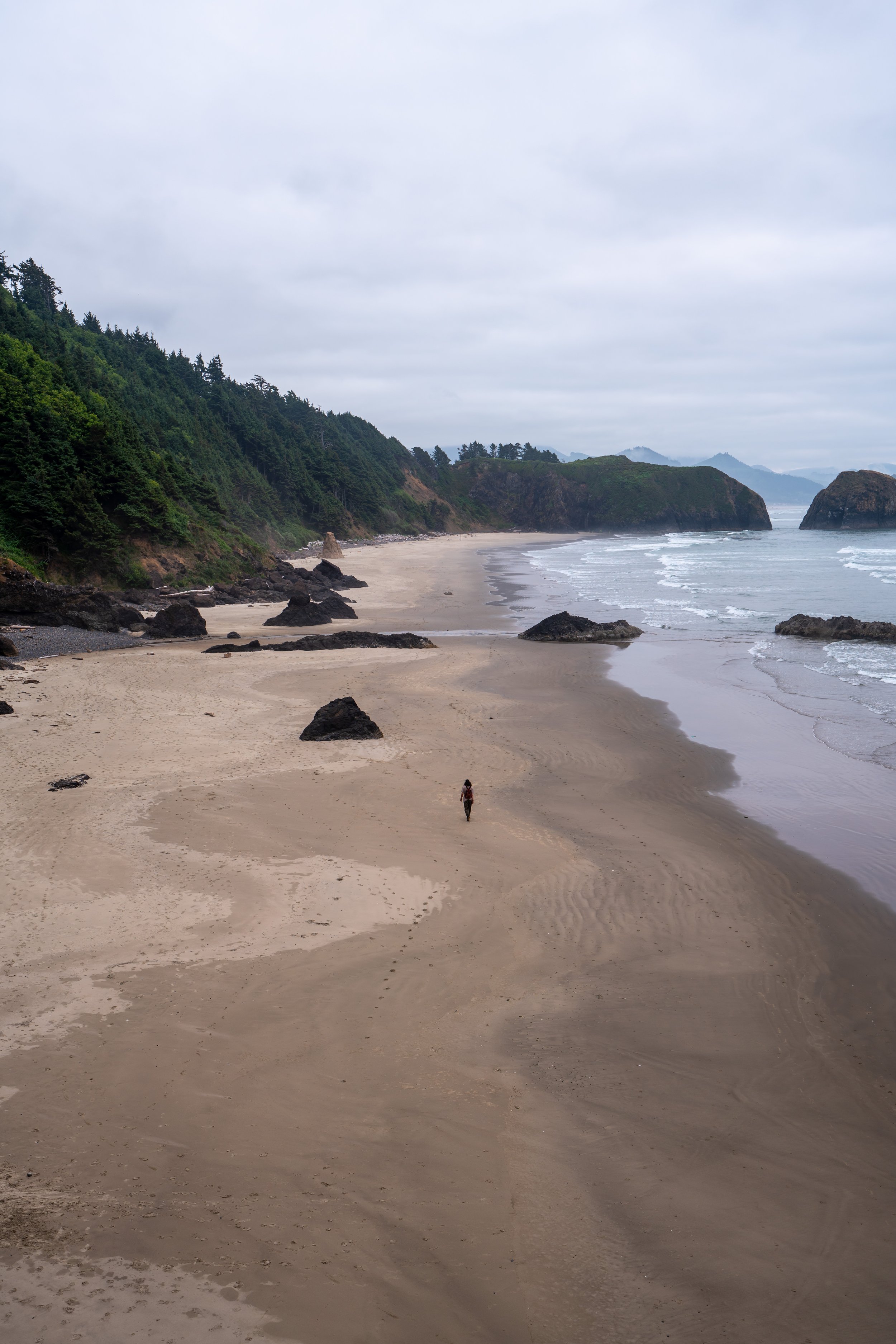
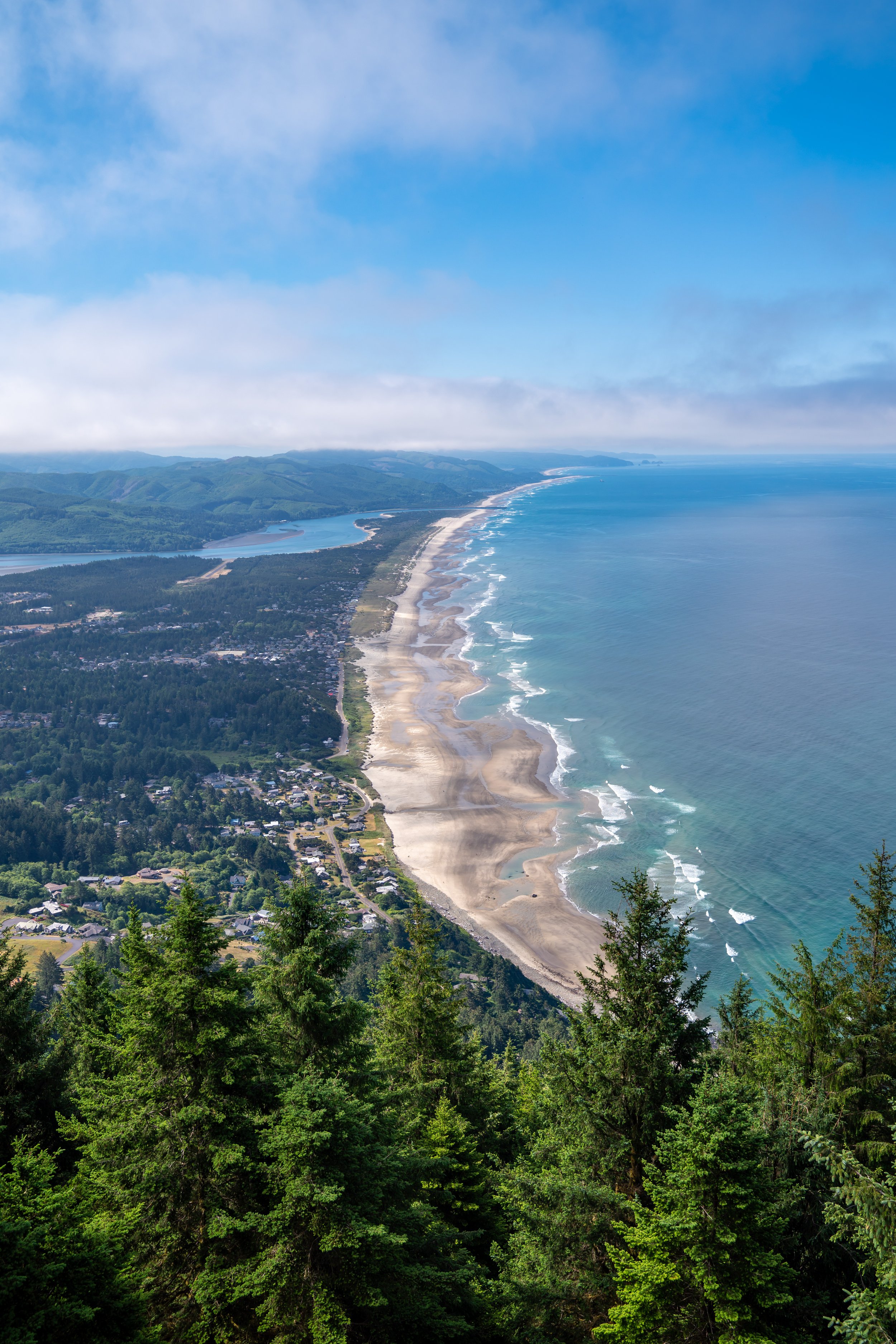
The main viewpoint from the summit of Humbug faces south toward Gold Beach, meaning that Humbug doesn’t necessarily make the best sunrise or sunset hike because the surrounding summit is so forested.
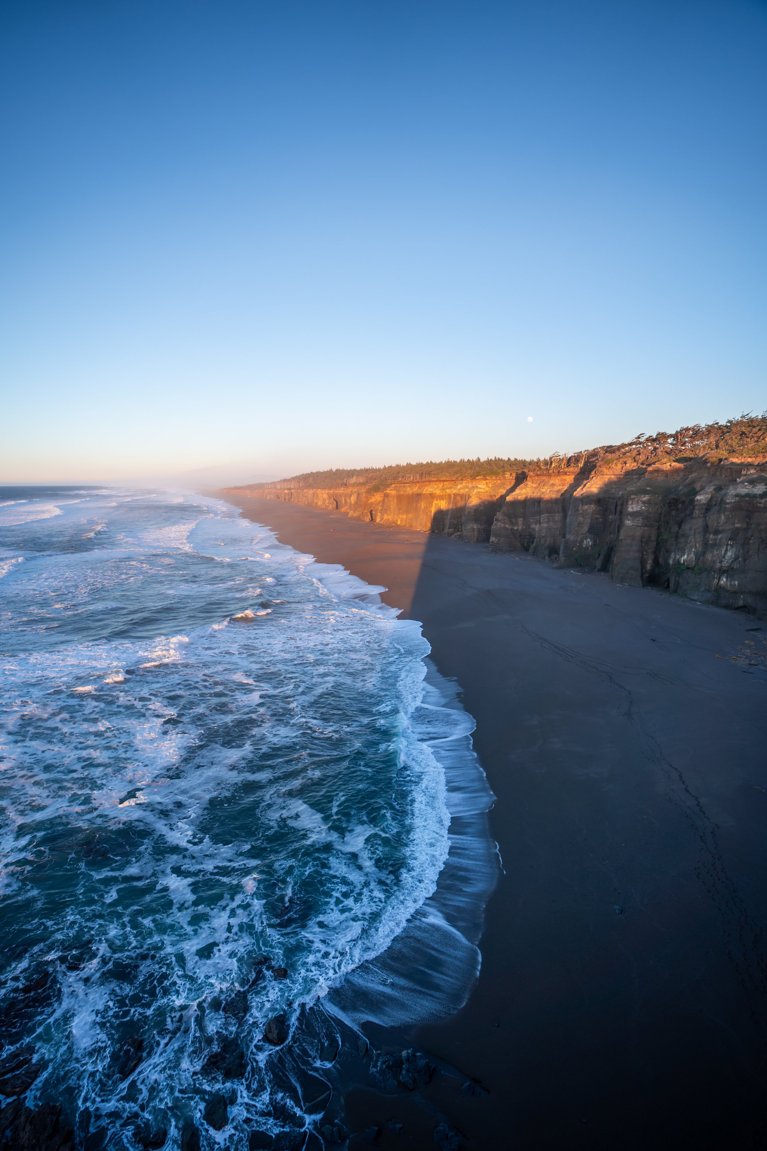
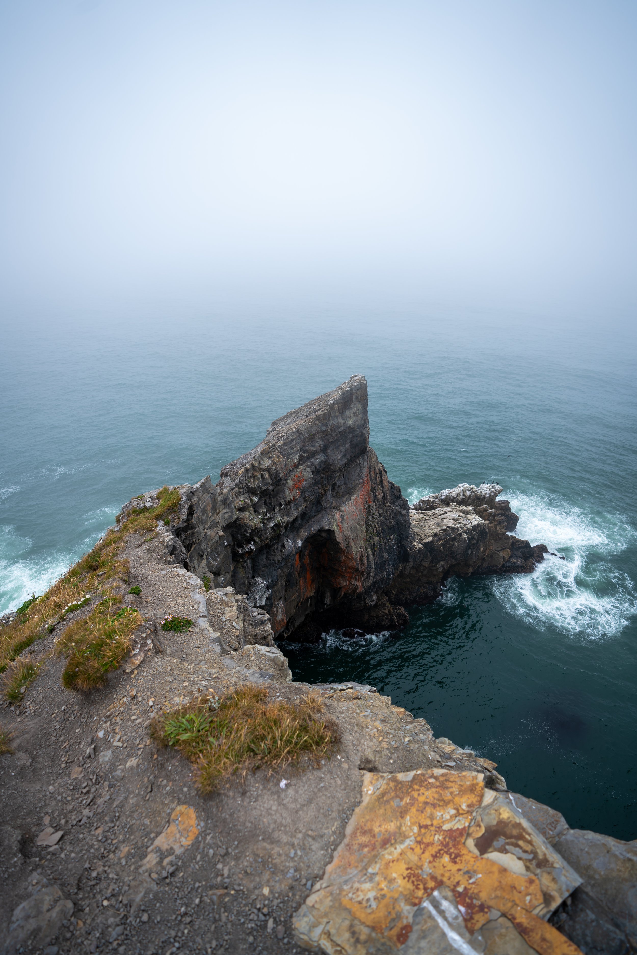
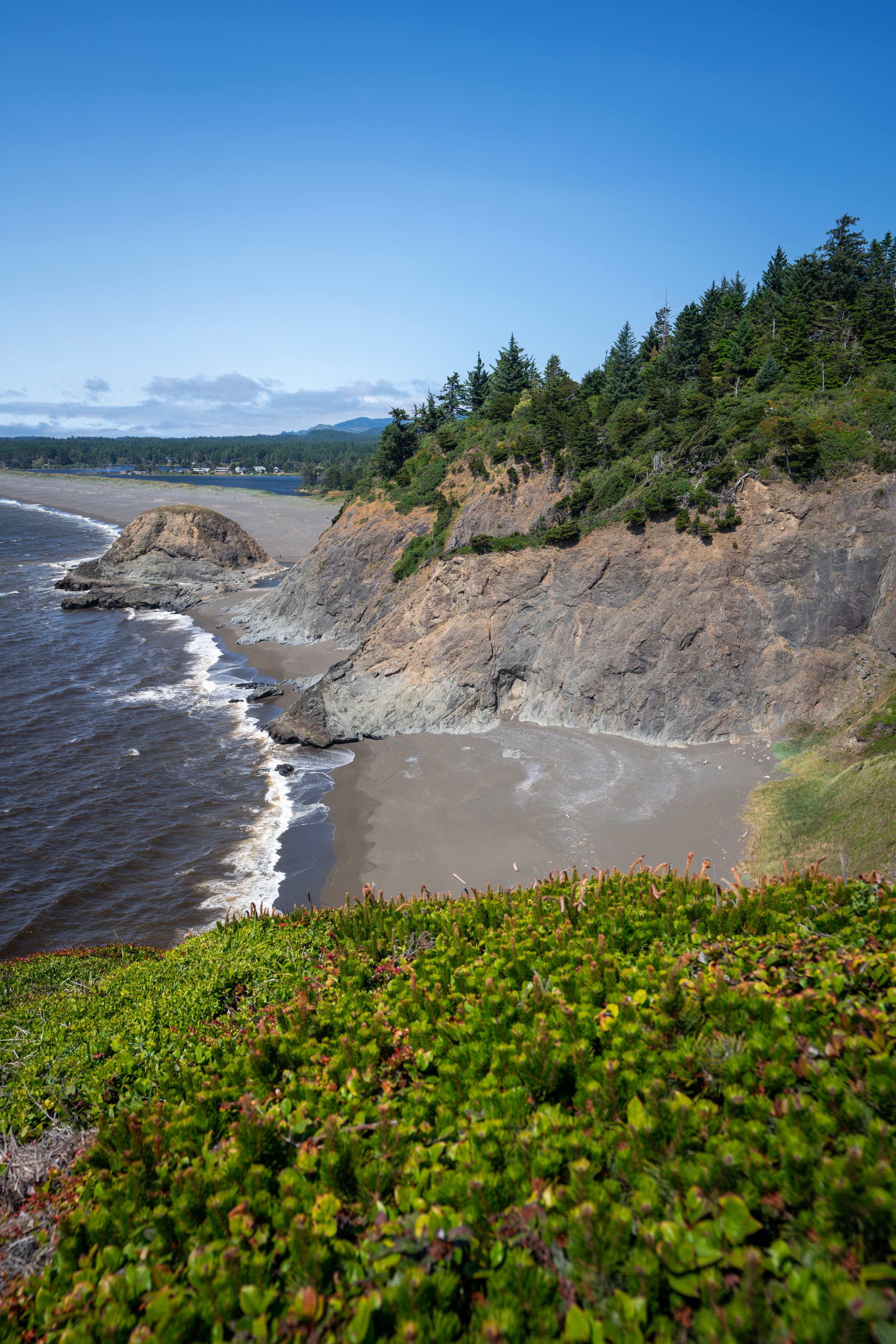
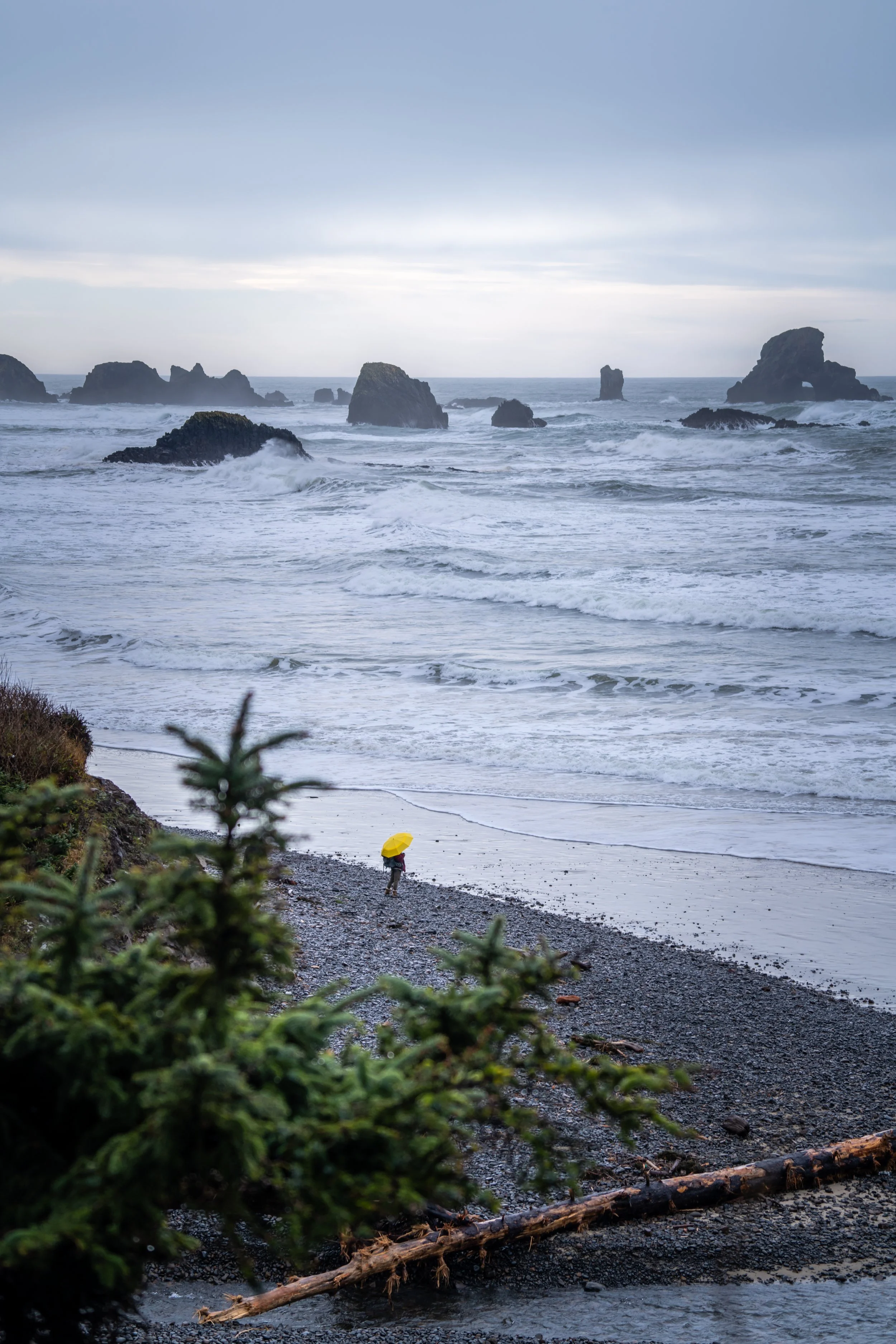
Regardless, if you hiked Humbug midday to late afternoon, I recommend heading back down and catching sunset at Arizona Beach just south of the mountain.
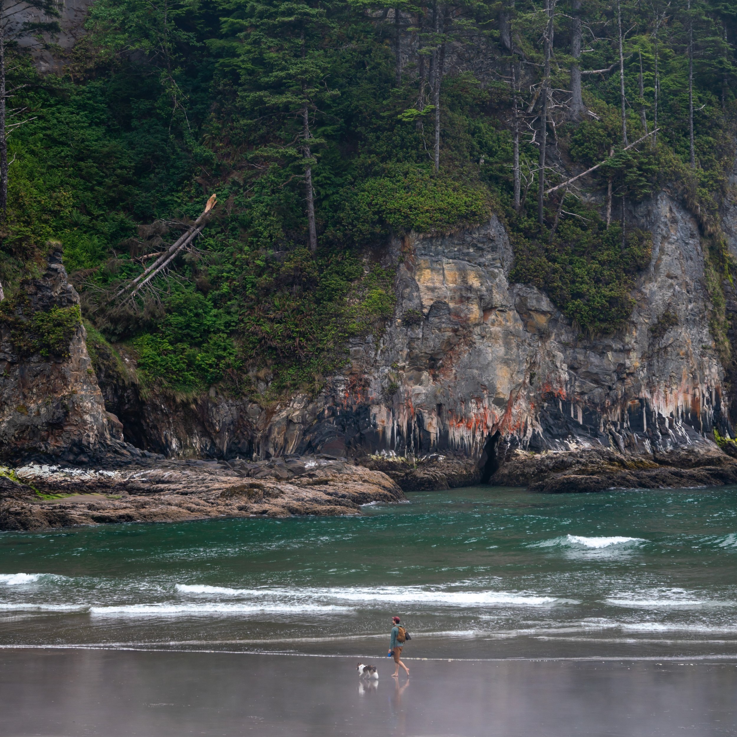
Arizona Beach is easily one the best uncrowded beaches on the Oregon Coast.
East Humbug Loop Trail
Distance: 1.8 miles / 2.9 km
At the split below the summit, go right to begin the East Humbug Loop back the original junction.
Since the hike up Humbug is almost entirely uphill, the hike back down seemed to fly by in comparison.
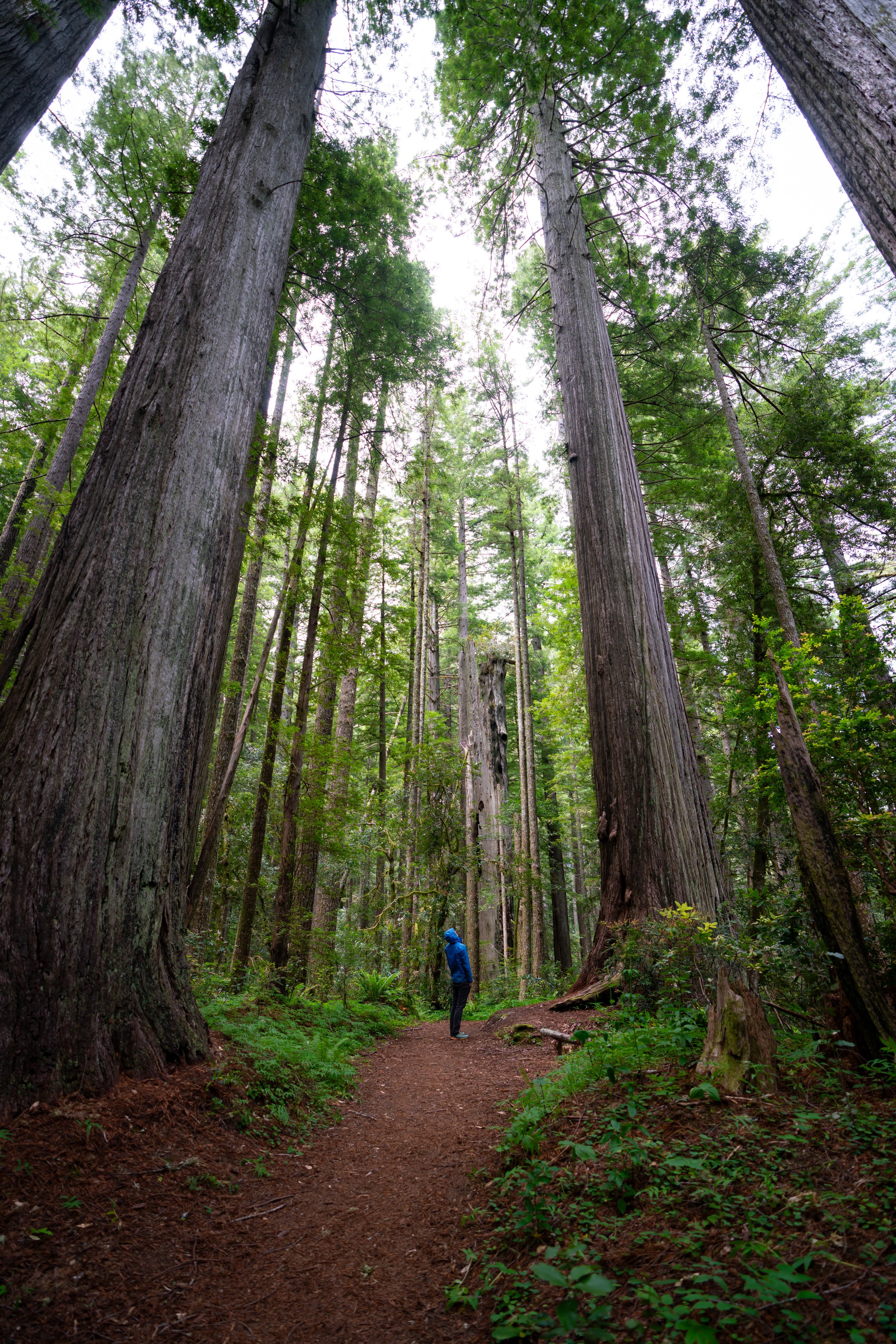
In my experience, there were still beautiful Rhododendrons blooming on the coast in late June.
Humbug Mountain Loop Junction
After about 1.8 miles (2.9 km), the East Humbug Summit Trail meets back up with the West Trail, with only 0.9 miles (1.4 km) left to reach the trailhead.
More Oregon Coast Adventures
If you’re interested in reading about some more amazing Oregon Coast adventures, check out my separate posts below!
Best Way to Find Places to Stay!
Wherever I travel, I love to start my search for places to stay on VRBO.
Even if I don’t end up booking through them, I think it’s one of the best ways to see what’s in the area!

Washington
Best Way to Book Rental Cars!
I travel quite a bit, and I know firsthand that finding a good rental car deal can be a challenge, but that’s why I recommend comparing all of your options with Discover Cars.
In short, Discover Cars is a well-known, reputable business that allows you to search for the best deal across companies, and they have the best full-refund cancellation policy I’ve ever seen, valid up to 72, or sometimes even 48, hours prior to your reservation!
Book Here: Discover Cars

Discover Cars!
Safety
Overall, the Oregon Coast has a fairly mild climate year-round, with beautiful summers and temperatures that seldom get below the upper 30s come winter.
That being said, there are a few things to know before venturing out on some of the many trails along the coast.
First, Pacific Poison-oak is found on trails up and down the Oregon Coast, which is why it’s important to learn how to identify it before hiking any trail.
Additionally, there are black bears on the Oregon Coast, and while hiking in black bear territory usually presents less danger compared to grizzlies, hiking with bear spray is never a bad idea. However, it’s really up to your own discretion and comfort level.
Disclaimer
All information provided on this blog is for informational purposes only and is not intended to be a substitute for information or advice from qualified professionals or managing agencies.
Noah Lang Photography LLC makes no representations or warranties regarding the accuracy or completeness of the information provided here, and readers should use their own discretion, judgement, and seek professional advice where it is appropriate.
Furthermore, Noah Lang Photography LLC shall not be held responsible for any injuries, lost individuals, or legal issues arising from the use of information provided on this website, and if applicable, the above safety disclaimer should be referenced to provide a generic overview of the risks involved.
All said, the content on this blog is for the sole use of Noah Lang Photography LLC, and unauthorized use or reproduction of this content is strictly prohibited.
Disclosure
This post is not sponsored.
However, some of the links in this post are affiliate links, which means that I may earn a small commission if a purchase is made through one of those links. This commission comes at no additional cost to you, and I only recommend products that I personally use and believe will add value to my readers. Thank you for your support, which enables me to continue creating more!
To read the full privacy policy, click here.

About This Blog
Noah Lang Photography, also known as @noahawaii, is 100% reader-supported!
I do not accept guest articles or sponsored content of any kind on my blog, which is why, if you enjoy the outdoor and travel content I create, please consider buying me a coffee!
I appreciate your support, which helps me continue to keep this blog alive!