


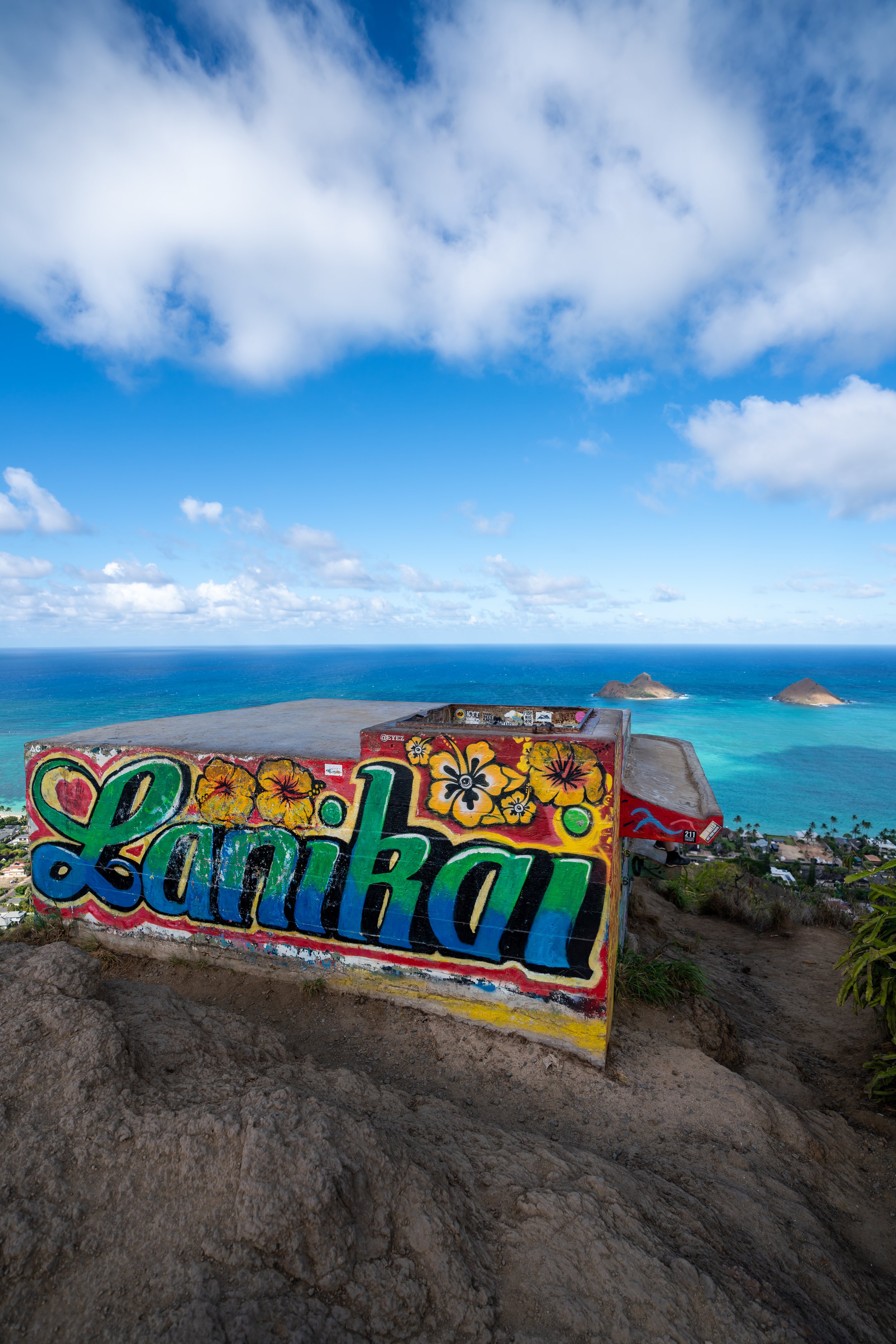
Hiking the Mānana Ridge Trail on Oʻahu, Hawaiʻi
Distance: 10.4 miles / 16.7 km
The Mānana Ridge Trail in central Oʻahu is a long and beautiful out-and-back day hike across some of the most remote stretches of the island’s Koʻolau Mountain Range, comparable to only a few others, such as Schofield-Waikane to the north and Waimano and ʻAiea Ridge to the south.
That being said, the Mānana Ridge Trail, at 5.2 miles (8.4 km) each way, is one of the longer trails on Oʻahu to reach the Koʻolau Summit, which inevitably makes one of the least-crowded state-managed ridge hikes on the island—even on weekends!
Now, it must be said—Mānana Ridge to the Koʻolau Summit is a long, slow, hilly, and, most of all, tedious day hike that typically makes it an all-day adventure, and even then, most hikers turn around before the summit. I don’t say this to discourage anyone from hiking Mānana if you haven’t done it or one of the similar trails mentioned above, but I want to provide realistic expectations in order to arrive prepared, which hopefully explains why this post is so long!
Mānana Ridge Trailhead Parking
Parking for the Mānana Ridge Trail is located at the very top of Komo Mai Drive in Pearl City.
This is also the same trailhead for both ʻIliahi Ridge and Waimano Falls, meaning that it may be difficult to find parking on a weekend because Waimano Falls is such a popular trail.
Google Maps Directions: Mānana Ridge Trailhead
My Hawaiʻi Hiking Checklist
Osprey 3L Water Bladder - The Osprey 3L water bladder is the most universal hiking and backpacking water bladder on the market, and it’s my go-to because of the slide-off seal that allows it to be quickly filled from the top. Additionally, individual parts are easily replaceable, such as the bite valve.
Blister / Heel Protectors - I swear by these cheap, amazing heel protectors to prevent blisters for nearly every kind of hiking and backpacking that I do!
Black Diamond Headlamp - Personally, I recommend the Black Diamond Storm because it is one of the brightest, lightest, and longest-lasting headlamps on the market—and trust me, the weight-to-battery-life ratio really does matter!
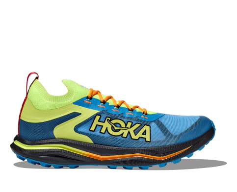
Hiking / Trail Running Shoes - Depending on the type of trail, I prefer to use either the Keen Targhee for longer, more rugged hiking or the HOKA Zinal Trail-Running Shoe for lighter, less intense trails. In either case, both have been amazing to me for many years across countless environments, and both can be found in men’s and women’s sizes. - (Men’s Keen / Women’s Keen) (Men’s HOKA / Women’s HOKA)
Waterproof Rain Shell - You never know when it may rain, and I’ve learned over the years that a rain shell is far better than a rain jacket. By this, I mean that it’s best to have something that the water will roll right off of, which is why I recommend the Patagonia Torrentshell 3L available in both men’s and women’s sizes.
High SPF Sunscreen - Packing high-SPF sunscreen is a must for long days outside!


Hiking the Mānana Ridge Trail
The Mānana Ridge Trail begins at the very top of Komo Mai Drive.
On a different note, don’t forget to pack a headlamp if you plan to hike as far as the Koʻolau Summit, as I can almost guarantee that Mānana Ridge will take all day.

Following the trailhead, the first 0.4 miles (0.6 km) of the Mānana Ridge Trail follows a service road until the trail reaches a water tank shortly ahead.
Lower Mānana-ʻIliahi Ridge Junction
At about 0.3 miles (0.5 km), the Mānana Ridge Trail comes to the first of two connections with the ʻIliahi Ridge Trail to the north.
If you’re interested in learning more about this completely separate day hike off Mānana Ridge, I encourage you to check out my separate article for the trail linked below.
Read My Separate Post: ʻIliahi Ridge Trail
This is where the service road comes to an end, which is always a nice sight after the long hike up to the KST.
The Mānana Ridge Trail will split at a few different points in the beginning, as this is the most popular section of the hike before the split that leads down to Waimano Falls.
That said, the trail will always come together, regardless of which route you choose to take.
Just before the junction for Waimano Falls, the Mānana Ridge Trail comes to this split.
Here, it is possible to go either way to continue up Mānana Ridge, but I recommend going right, as indicated by the arrow.
The trail up the hill to the left is just unnecessary, as all the elevation gained up the hill will be lost on the backside.
Mānana Ridge-Waimano Falls Junction
At roughly 0.9 miles (1.4 km), the Mānana Ridge Trail comes to the Waimano Falls junction.
This is typically where most hikers leave the Mānana Ridge Trail, as the Waimano Falls Trail is, without a doubt, the single most popular reason that day hikers frequent Mānana Ridge.
In any case, go left at this split to remain on Mānana Ridge, toward the Koʻolau Summit.
Read My Separate Post: Waimano Falls Trail
This is where the Mānana Ridge Trail descends the far side of hill previously mentioned.
Over the next 0.5 miles (0.8 km) from the Waimano Falls junction, the Mānana Ridge Trail slowly leaves the Eucalyptus-Brush Box canopy behind, as the trail begins to climb sections with much less shade.
With that in mind, I could not recommend hiking in a long-sleeve, hooded sun shirt more, as it can serve as both a means of sun protection and protection against the overgrowth to come!


I’ve always imagined that this eroding hillside will eventually give way after the right storm, similar to another section shortly after the upper ʻIliahi Ridge Trail split.
Just like the fence and the water tank at the end of the paved road, this mixed Paper Bark-Slash Pine-Eucalyptus forest is always a nice sign that you’re near the beginning few sections on the long return hike!
I’ve always thought that this bench, along with the Mānana Shelter up ahead, is one of the best places on Oʻahu for a late evening trail run.
That said, these are the shoes that I love to use for Hawaiʻi trail runs, like Mānana Ridge or the nearby ʻAiea Loop Trail, but I do not recommend a light pair of shoes like this for the entire hike to the Koʻolau Summit.
This is why I have both of my recommendations linked below.


This ʻIliahi species is endemic only to the mountains on Oʻahu and can commonly be found across these central Koʻolau ridge trails.
Upper Mānana Ridge-ʻIliahi Junction
Shortly after the bench above, the Mānana Ridge Trail will pass by the upper connection for the ʻIliahi Ridge Loop.
However, I personally recommend hiking ʻIliahi Ridge from the first junction because I think it makes for a more beautiful clockwise hike than in reverse.
Read My Separate Post: ʻIliahi Ridge Trail
Past the ʻIliahi Ridge junction, Mānana Ridge descends steeply down a hill to this short, narrow section on the ridgeline, which marks the second part of the hike that I imagine will only continue to erode and collapse over time.
With that in mind, trust the ground here lightly.
Mānana Shelter
At almost exactly 2.0 miles (3.2 km), the Mānana Ridge Trail reaches the Mānana Shelter, the second most popular turnaround point on Mānana Ridge after Waimano Falls.
The Mānana Shelter—or technically, any number of areas on Mānana Ridge—can be booked to camp overnight, but these lower elevations near the shelter would certainly be much easier to reach than those shown later in this article.
Book Here: Mānana Ridge Trail Permits
After the Mānana Shelter, the trail continues up a fairly gradual path, but this doesn’t last long, as the Mānana Ridge Trail is notorious for being exceptionally hilly!
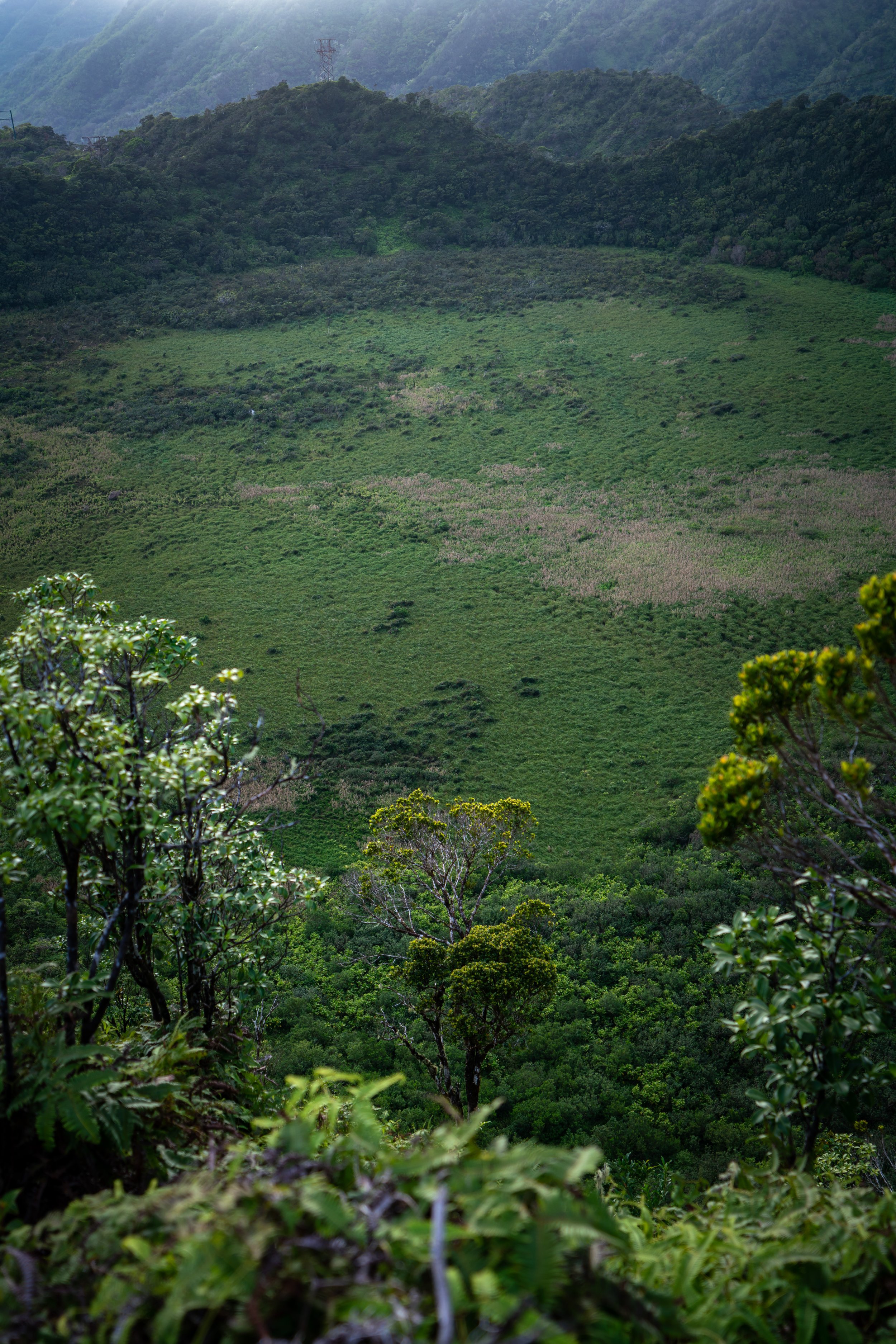
This is roughly where the Mānana Ridge Trail begins to transition into a mixed Uluhe-Koa-ʻŌhiʻa forest, which begins about 0.3 miles (0.5 km) past the shelter and extends through the vast majority of the hike until the uppermost elevations above Dwarf Hill.
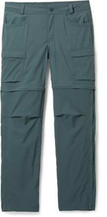
While the Mānana Ridge Trail stays 'relatively clear' after the Mānana Shelter—due entirely to foot traffic along these first few miles—the trail slowly becomes more overgrown the higher it climbs. For this reason, I highly recommend wearing good hiking pants, as the overgrowth on these long Hawaiʻi ridges, like Mānana, is always worse than the shorter hikes in the southern Koʻolaus.
The pants below are my recommendations that hold up the best with the overgrowth here in Hawaiʻi, but with any hiking pants that need to be durable, make sure that they are at or near 100% nylon. This is really the most important factor!

ʻAhakea trees along Mānana, or any, Hawaiʻi hike are always a nice sign that the trail is climbing higher!
These arrows are a bit of a 'new' addition to the Mānana Ridge Trail, added as recently as 2024.
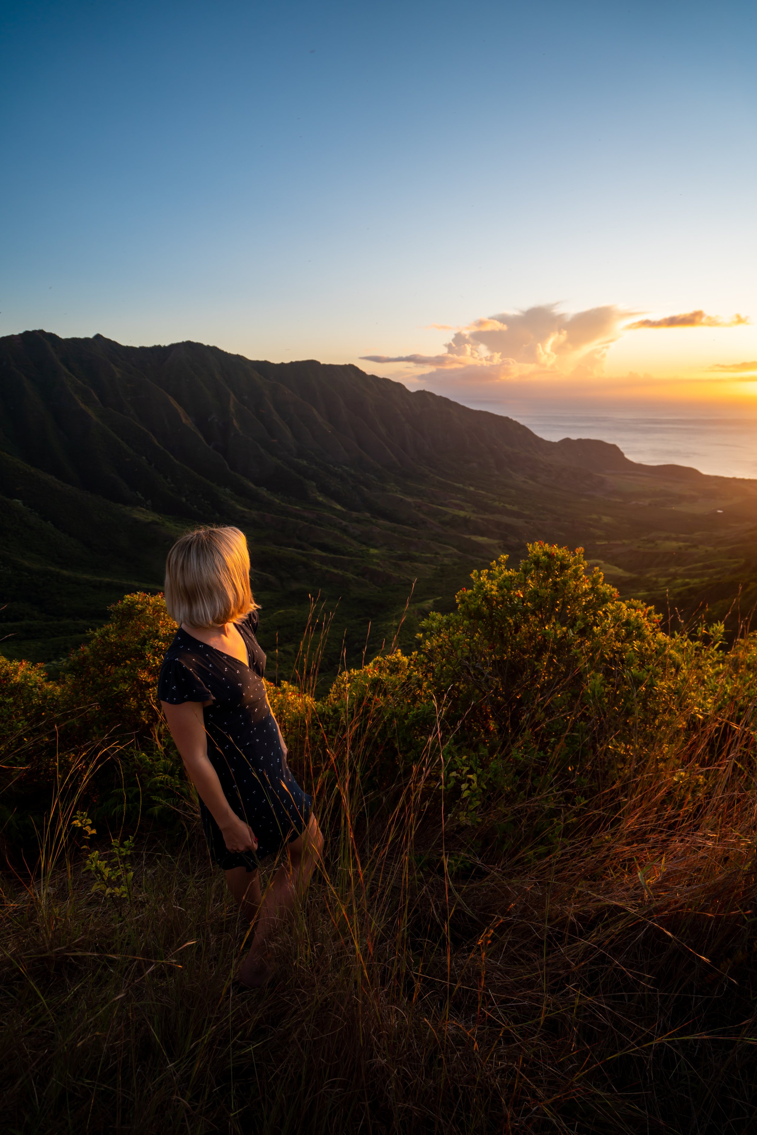
Since Mānana Ridge is such a long and slow trail, I typically only recommend hiking it in good weather, which inevitably means spending a long day in the sun.
This is why I want to remind once again that hiking in a long-sleeve, hooded sun shirt is quite essential on Mānana, as it can be easy to burn on these long Oʻahu ridges, with very little shade along the way!
This clearing can be one of the best places to take a break on the hike up, as Heartbreak Hill—the next best place to relax—is located more than halfway up Mānana Ridge.
This is where the Mānana Ridge Trail begins to climb the longest, steepest hill on the entire hike.
It wouldn’t be the worst idea to carry replacement ropes—especially if it has been recently raining!

This is the top of the hill, where the Mānana Ridge Trail continues the long, slow trek through the Uluhe to the Koʻolau Summit.
This is one of the only times where the Mānana Ridge Trail traverses a switchback, as the majority of the hike acts like a 'rollercoaster' along the ridgeline.
Surprisingly, there are more than a few Koa trees on Oʻahu that look just like this!
Heartbreak Hill
Following the Mānana Shelter, Heartbreak Hill, at roughly 3.6 miles (5.8 km), is the most common turnaround spot among hikers uninterested in continuing on to the Koʻolau Summit.
That being said, Heartbreak Hill gets its name because it really isn’t all that close to either the summit or the trailhead, meaning there is a lot of hiking in either direction to get both up and down from this point.
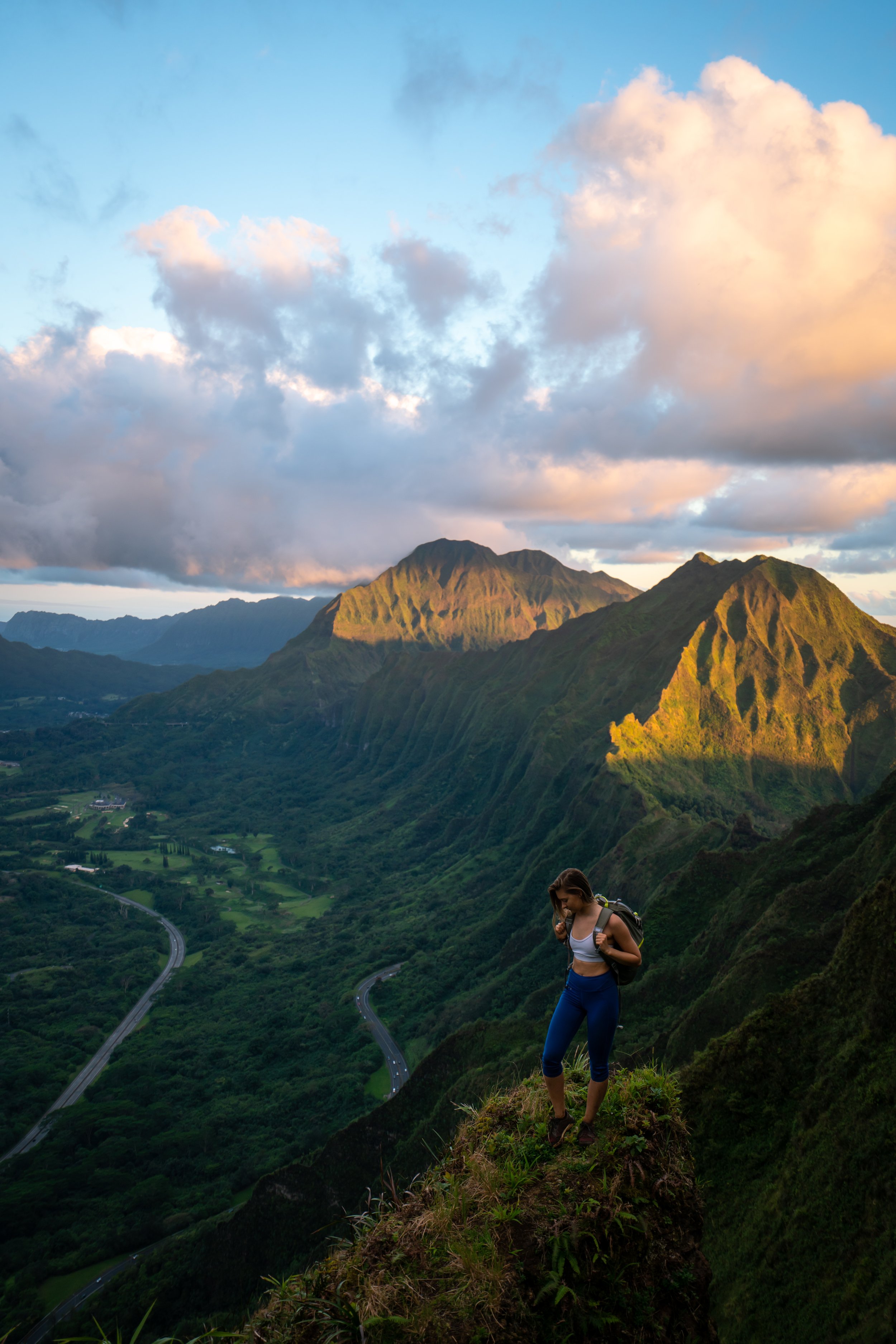
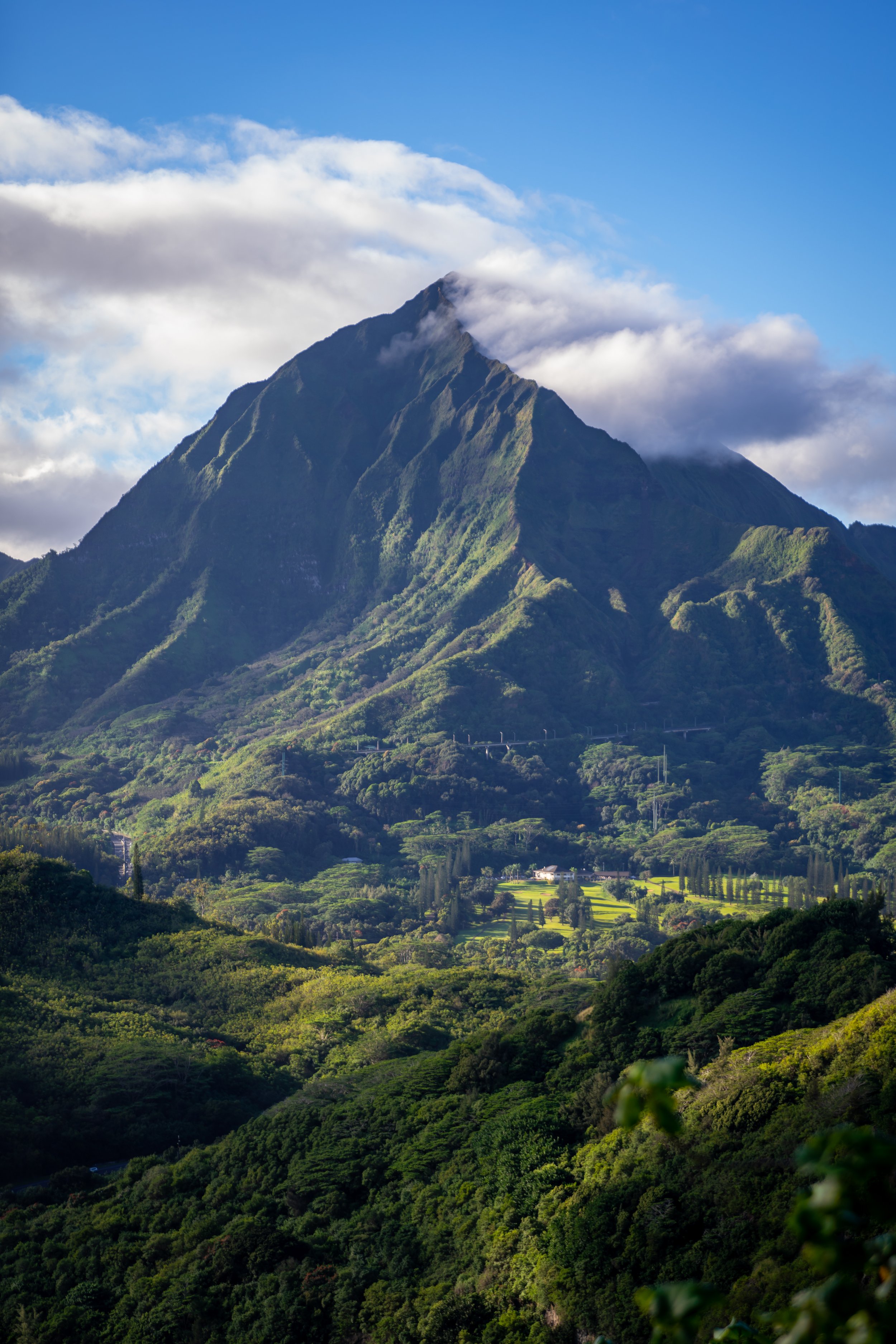
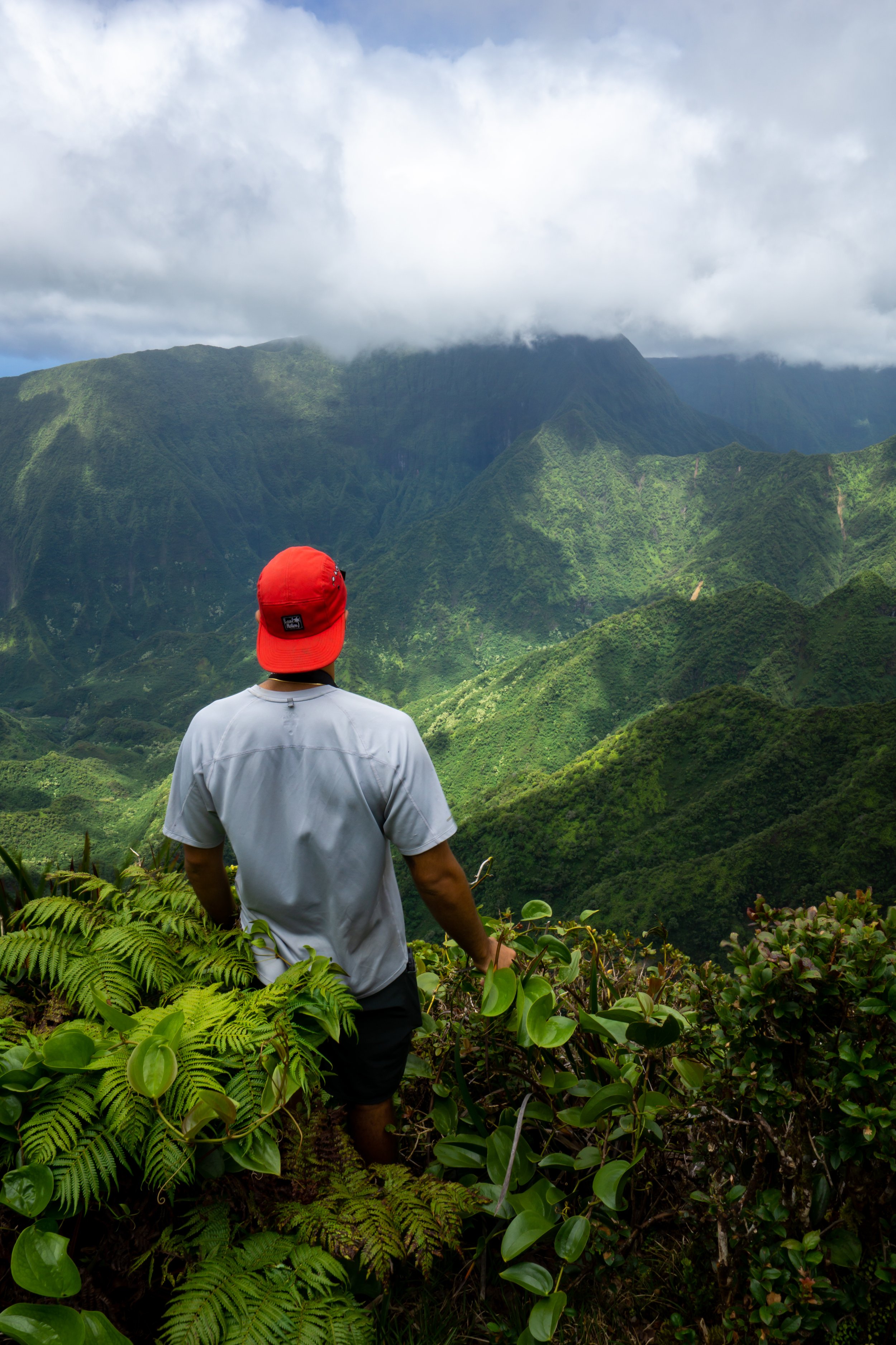
On a different note, the view of Mānana Summit and the KST, at large, becomes much more visible from Heartbreak Hill than at any point on the trail thus far.
To try to put it in perspective, Mānana Summit is not the most prominent brown peak off in the distance. Rather, it’s the next, shorter summit just to the right (south).
Hopefully, this helps give an idea about where the trail is heading from this point on.
From Heartbreak Hill to the next notable grassy clearing, there’s only another 0.9 miles (1.4 km) to hike, but like all sections through these middle elevations, the trail moves fairly slow.
If you’re learning to identify different native Hawaiian plants, Mānana Ridge is truly one of the best places to learn, as the trail becomes more and more pristine the higher you hike!
More so than other places along the hike, it is through these middle miles that long pants, for the overgrowth, are the most useful!
Between both Heartbreak Hill—shown above—and Waimano Hill—up ahead—the Mānana Ridge Trail passes through this gate, entering an area that natural resource managers work hard to protect by preventing non-native, invasive ungulates from passing through.
This is because there are almost always rare and endangered species that can be found along Hawaiʻi trails.
That being said, please make sure to close the gate after passing through.
For a short stretch, the Mānana Ridge Trail leaves the fence line behind, before regaining it again shortly ahead.
This is the upper side of the hill, where the Mānana Ridge Trail regains the ungluate-exclusion fence.
While it would be nice to continue hiking along the fence, it eventually splits away to the north.
It is because of all these ascents and descents that hikers often call Mānana Ridge a 'rollercoaster hike.'
All these hills on Mānana make the total elevation gain much greater than it would be by simply comparing the difference between the trailhead and summit, which, in my best estimation, is somewhere around 2,800 ft. (853 m).
If you are crazy enough to hike high up Mānana Ridge for sunset, late evening across these middle miles can be one of the best places to see Oʻahu’s native birds, like the ʻApapane and the Oʻahu ʻAmakihi.
From personal experience, I have noticed them flying around the ʻŌhiʻa canopy, which is best observed from a tree with a lot of crown flowers!
Waimano Hill
Waimano Hill is the next notable flat, grassy clearing on the Mānana Ridge Trail, named for another section of pristine, native forest that land managers work hard to protect.
From Waimano Hill, there’s only another 0.3 miles (0.5 km) until the Mānana Ridge Trail reaches the next-best clearing to take a break.
It’s always great to see one of the many endemic mountain Naupaka species!
Dwarf Hill
Dwarf Hill is the second-to-last hill on the Mānana Ridge Trail prior to the summit, which, as previously mentioned, is located just 0.3 miles (0.5 km) past Waimano Hill.
Floating Ridge
Just 0.1 miles (0.2 km) past Dwarf Hill, the Mānana Ridge Trail begins what’s known as 'Floating Ridge,' nicknamed this because the next section rises above much of the surrounding vegetation, giving some of the best views of any area on the entire hike thus far!
This is the Koʻolau-endemic Loulu palm, a staple of a healthy, wet forest landscape on Oʻahu.
These middle sections across Floating Ridge are some of the first places on Mānana where the summit actually begins to feel close!
Floating Hill
Located roughly 0.4 miles (0.6 km) from the top, Floating Hill is the final hill prior to the Koʻolau Summit.
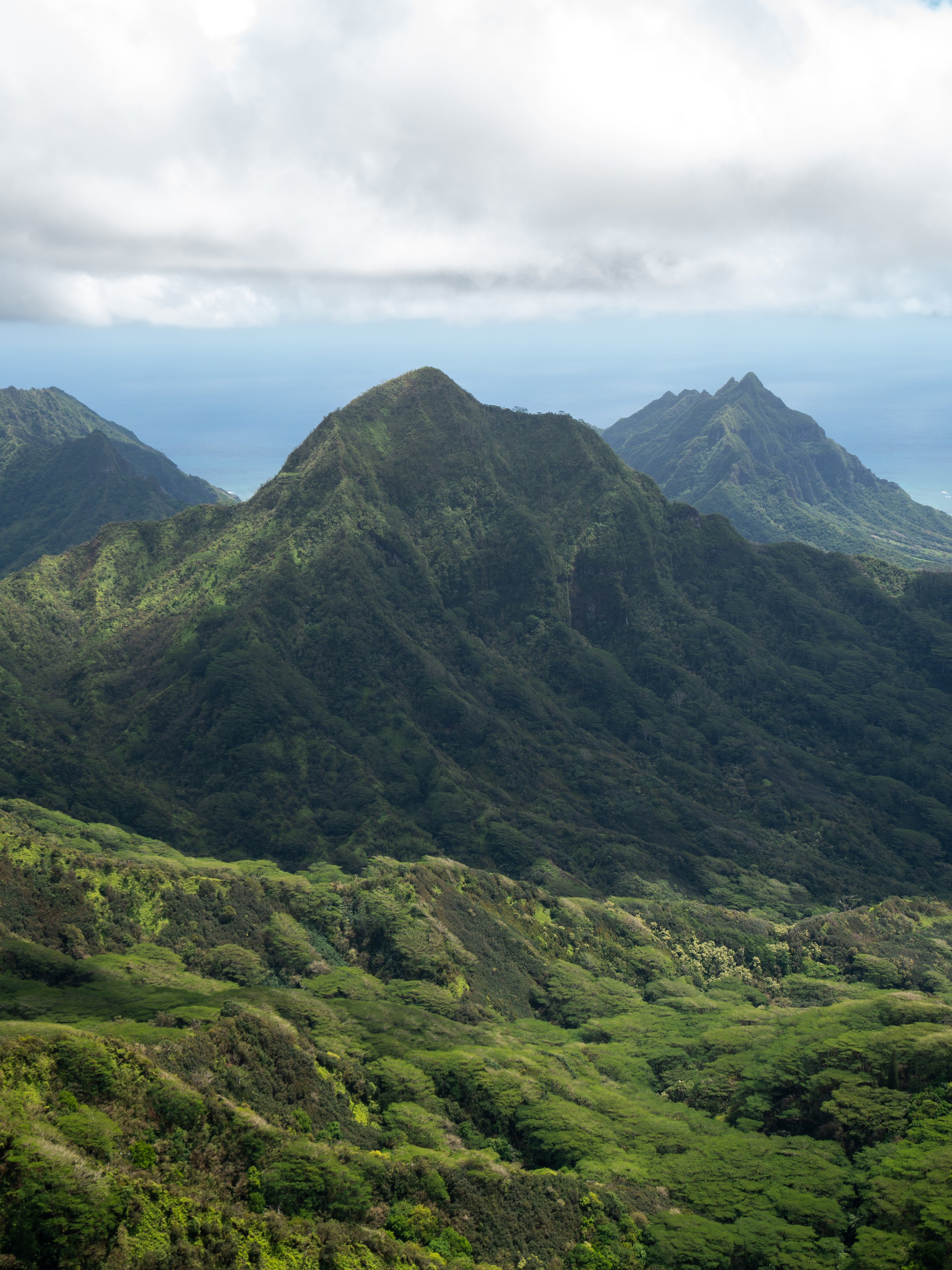
The Mānana Summit is the peak in the middle of the photo below.
Similar to the Naupaka species mentioned above, Scaevola mollis is another of the many upper-elevation Naupaka species that can be found across both wet and dry forested landscapes in Hawaiʻi.
If you have the opportunity to hike Mānana Ridge on a day as clear as this, it truly is quite fortunate!
I can confidently say that, of the many times I’ve hiked Mānana, it has never been this clear near the summit as on the day I took these photos, as this area of the central Koʻolaus is one of the wettest places on the island!
While Manono can look similar to Kōpiko shown earlier in this post, there are a number of differences to be able to tell it apart, most notably the difference in flowers.
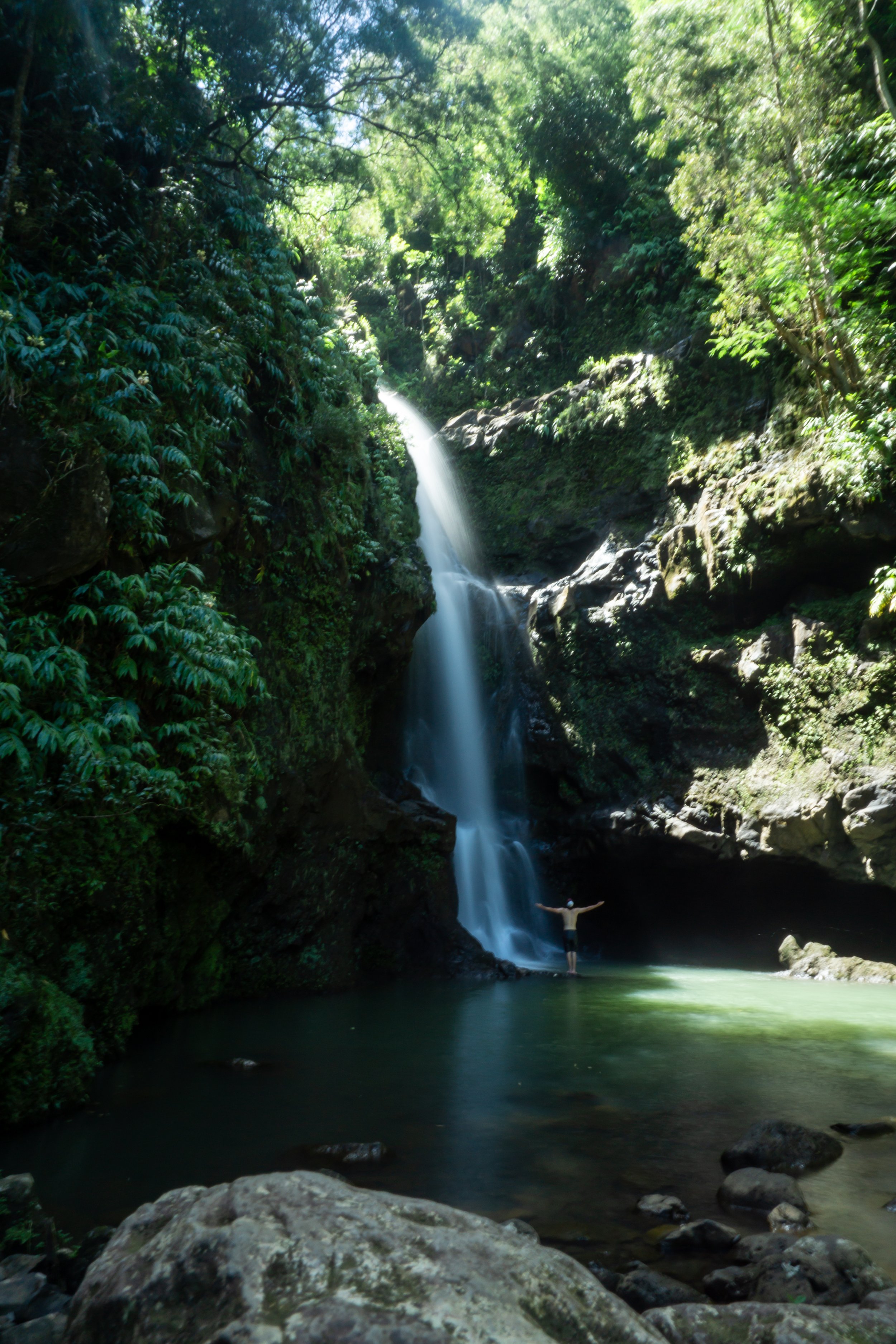
When this waterfall becomes visible to the right of the trail, it’s a good sign that the summit is getting close!
That said, I have only ever seen it flowing once, which was during a downpour—meaning all the adjacent streams began to swell.
However, the waterfall is most often dry, or nothing more than a trickle, because the drainage near the top of Mānana is so small.
If you see the red ʻŌhiʻa ha berries along the trail, don’t eat them.
According to some sources, they are considered edible, but I can speak from experience: they taste terrible!
Mānana Summit
After 5.2 miles (8.4 km), the Mānana Ridge Trail ends at the beautiful Mānana Summit above Waiāhole and Kahaluʻu on Oʻahu’s east side. Popular places such as Puʻu Māʻeliʻeli, Mokoliʻi, the Kalāheo Hills, and even as far as Mt. Olomana can be seen on a clear day!
On a different note, the Mānana Ridge Trail is one of the most popular KST access trails, given that there are so few options to reach these middle, remote miles on the Koʻolau Summit.
That being said, I strongly advise against hiking north or south from Mānana Summit unless you have made the proper preparations to continue further. I say this because these remote miles are nothing to take lightly, and everything in either direction is more challenging than anything on Mānana Ridge up to this point—especially the KST to the north!
If it says anything, I prefer to begin hiking from the Mānana trailhead to Poamoho at around 2 a.m. in order to finish this long stretch before sunset.
Read My Separate Post: Koʻolau Summit Trail (KST)
Native Plants on Mānana Ridge
Since Mānana Ridge starts at a higher elevation compared to other Koʻolau ridge hikes, you can begin seeing a number of different native Hawaiian plants shortly after the trailhead and continuing to the summit.
Some of these include ʻŌhiʻa lehua, Kōpiko, ʻUhaloa, Alani, Koa, ʻIliahi, Kāmakahala, Maile, ʻIeʻie, ʻOhe Mauka, Kokolau, Naupaka, and Kalia—and truly, so many more I could have named!
If you would like to learn more about these and many other native Hawaiian plants from across the islands, I encourage you to check out my separate post linked below.
Read My Separate Post: Native Hawaiian Plant Guide
More Oʻahu Adventures
If you’re interested in reading about some more amazing Oʻahu adventures, check out my separate posts below!


Best Hotels & Restaurants in Waikīkī
If you’re trying to decided where to stay on Oʻahu, check out my top 10 list for the best resorts and restaurants in Waikīkī.
I break down what makes one hotel a better choice over another, so that you can find the best fit for your stay on the island.
Read My Separate Post: Best Waikīkī Hotels & Restaurants

Waikīkī
HNL Airport-Hotel Shuttle
Prices on ride-share apps like Uber/ Lyft cannot beat the price of booking your hotel shuttle prior to arrival. I say this because there are additional fees for ride-share airport pick-ups at Honolulu Airport (HNL), which is why I recommend booking your transportation in advance using the options below.
Additionally, the last option below will go as far as the Ko ʻOlina Resorts on the West Side and Turtle Bay on Oʻahu’s North Shore!
Best Way to Book Rental Cars!
I travel quite a bit, and I know firsthand that finding a good rental car deal can be a challenge, but that’s why I recommend comparing all of your options with Discover Cars.
In short, Discover Cars is a well-known, reputable business that allows you to search for the best deal across companies, and they have the best full-refund cancellation policy I’ve ever seen, valid up to 72, or sometimes even 48, hours prior to your reservation!
Book Here: Discover Cars

Oʻahu
Visiting Other Islands
If you are visiting Oʻahu or heading to another island, check out some of my personal recommendations for Oʻahu, Maui, Kauaʻi, Molokai, Lānaʻi, and Hawaiʻi Island (Big Island) in these separate posts.
If you’re trying to decide which island is right for your visit, check out my overview about each island in the post below.
Read My Separate Post: What is the Best Hawaiian Island to Visit?


What is the Best Time of Year to Visit Hawaiʻi?
The weather in Hawaiʻi can often appear to be warm and beautiful throughout the year, but in my experience, there is a lot more to consider when planning what time of year to visit the islands, such as what island you are considering, what sides of each island do you plan to stay, what activities are you most interested in, the wildlife, and countless other nuanced variables that can all impact the type of trip you can expect to have.
For these reasons, I highly recommend reading through my separate article to not only understand my thoughts regarding the best time of year to come to Hawaiʻi but also what you need to consider based on the time of year that you plan to visit.
Read My Separate Post: What is the Best Time of Year to Visit Hawaiʻi?
10 Best Tours & Excursions on Oʻahu
There are a lot of different tour options to choose from on Oʻahu, but to make it easier to decide, I made a list of my favorite tours because some things simply are better with a local guide!
Read My Separate Post: Best Tours on Oʻahu

Oʻahu
Safety
All hikes in Hawaiʻi should not be compared to trails outside of the islands, and hikers should exercise due caution on every adventure, given that many are extremely dangerous.
By this, I mean that Hawaiʻi is known for hot, humid weather, steep, dramatic, and unstable cliffs, and flash floods, which can occur without warning. Therefore, it is important that you check the local forecast, understand the physical condition of your entire group, and pack sufficient food and water before attempting any adventure.
Disclaimer
All information provided on this blog is for informational purposes only and is not intended to be a substitute for information or advice from qualified professionals or managing agencies.
Noah Lang Photography LLC makes no representations or warranties regarding the accuracy or completeness of the information provided here, and readers should use their own discretion, judgement, and seek professional advice where it is appropriate.
Furthermore, Noah Lang Photography LLC shall not be held responsible for any injuries, lost individuals, or legal issues arising from the use of information provided on this website, and if applicable, the above safety disclaimer should be referenced to provide a generic overview of the risks involved.
All said, the content on this blog is for the sole use of Noah Lang Photography LLC, and unauthorized use or reproduction of this content is strictly prohibited.
Disclosure
This post is not sponsored.
However, some of the links in this post are affiliate links, which means that I may earn a small commission if a purchase is made through one of those links. This commission comes at no additional cost to you, and I only recommend products that I personally use and believe will add value to my readers. Thank you for your support, which enables me to continue creating more!
To read the full privacy policy, click here.

About This Blog
Noah Lang Photography, also known as @noahawaii, is 100% reader-supported!
I do not accept guest articles or sponsored content of any kind on my blog, which is why, if you enjoy the outdoor and travel content I create, please consider buying me a coffee!
I appreciate your support, which helps me continue to keep this blog alive!