


Hiking the Storm Point Trail in Yellowstone National Park
Distance: 2.0 - 2.6 miles / 3.2 - 4.2 km
The Storm Point Loop Trail in Yellowstone National Park is a beautiful, flat, easy day hike along the shores of Yellowstone Lake!
For this reason, the Storm Point Trail is one of the best kid-friendly hikes in Yellowstone National Park—especially because the loop can be shortened into an easier out-and-back adventure by simply returning on the same trail rather than completing the full loop. This explains why the distance above is variable.
In any case, for those interested in a fun, easy, and—not to mention—uncrowded adventure, I highly recommend hiking the full Storm Point Loop Trail, as it’s one of the best ways to enjoy Yellowstone Lake away from busier areas, like Lake Village and the West Thumb!
U.S. National Park Pass
Did you know that the same America the Beautiful Pass that grants access to all 63 U.S. National Parks can be purchased in advance at REI?
Yes, you can save time when you arrive by purchasing your National Park pass, along with your other outdoor gear, at REI before traveling to the park!


Storm Point Trailhead Parking
Parking for the Storm Point Trail is located in either of two adjacent parking lots off East Entrance Road near Fishing Bridge.
Typically speaking, Storm Point is not the busiest trail in Yellowstone, but the loop does see some traffic, particularly those who are staying at the nearby Lake Yellowstone Hotel and Lake Lodge.
Google Maps Directions: Storm Point Trailhead
Hiking Checklist - Yellowstone-Tetons
Here is a complete list of must-have things that you will want for any hike in the Yellowstone-Teton area.
Bear Spray & Holster - If you aren’t flying, don’t rent bear spray! It’s a waste of money. Prepare ahead of time by buying your own, as this may be one of the most important items on this list.
Osprey 3L Water Bladder - The Osprey 3L water bladder is the most universal hiking and backpacking water bladder on the market, and it’s my go-to because of the slide-off seal that allows it to be quickly filled from the top. Additionally, individual parts are easily replaceable, such as the bite valve.
Black Diamond Headlamp - Personally, I recommend the Black Diamond Storm because it is one of the brightest, lightest, and longest-lasting headlamps on the market—and trust me, the weight-to-battery-life ratio really does matter!
Hiking / Trail Running Shoes - Depending on the type of trail, I prefer to use either the Keen Targhee for longer, more rugged hiking or the HOKA Zinal Trail-Running Shoe for lighter, less intense trails. In either case, both have been amazing to me for many years across countless environments, and both can be found in men’s and women’s sizes. - (Men’s Keen / Women’s Keen) (Men’s HOKA / Women’s HOKA)
Blister / Heel Protectors - I swear by these cheap, amazing heel protectors to prevent blisters for nearly every kind of hiking and backpacking that I do!
Waterproof Rain Shell - You never know when it may rain, and I’ve learned over the years that a rain shell is far better than a rain jacket. By this, I mean that it’s best to have something that the water will roll right off of, which is why I recommend the Patagonia Torrentshell 3L available in both men’s and women’s sizes.
High SPF Sunscreen - Packing high-SPF sunscreen is a must for long days outside!


Hiking the Storm Point Trail
From either parking area, the Storm Point Trail meets up at the trailhead sign in the photo on the right.
From here, the hike out to Storm Point begins through the forest until it eventually paralls Yellowstone Lake on the far side.
Storm Point Loop Trail
At about the 0.5-mile (0.8 km) mark, the Storm Point Trail splits into the Storm Point Loop, where you could hike in either direction to reach the Storm Point and the Yellowstone Lake shoreline.
Since the trail to the left is the most direct route to Storm Point, that’s the direction I chose to hike the loop.
Once the forest starts to open, the views of Yellowstone Lake get better and better the closer you get to Storm Point.
Storm Point
At the 1.0-mile (1.6 km) mark, the trail on the left side of the loop ends on a rocky cliff, which is Storm Point.
While making your way down the cliffs to swim may look fun, know that the water temperature only averages about 41°F (5°C), and that’s during the warmer summer months.
On top of this, the waves on Yellowstone Lake can get significantly more choppy because it’s such a large body of water, which can make exploring the rocky shoreline along Storm Point a dangerous adventure.
Storm Point Loop
To hike the shortest route back to the trailhead, go right to retrace the same trail taken to reach Storm Point.
If you choose to continue along Yellowstone Lake around the Storm Point Loop, know that this lesser-trafficked half of the loop adds about 0.6 miles (1.0 km) to the overall hike.
Area Closure
When the trail meets these signs, go right.
Rare and endangered plants are a subject that’s personal to me where I live in Hawaiʻi, and I ask that you please do your part to protect the Yellowstone Sand Verbena, which only finds a home along the shores of Yellowstone Lake and nowhere else on earth.
This is definitely the pinpoint definition of a narrow endemic.
After the area closure, the Storm Point Loop Trail returns back into the forest until meeting up with the initial split from earlier in the trail.
Storm Point Loop Junction
This is where the Storm Point Trail completes the loop, with roughly 0.4 miles (0.6 km) remaining to the trailhead.
Warning
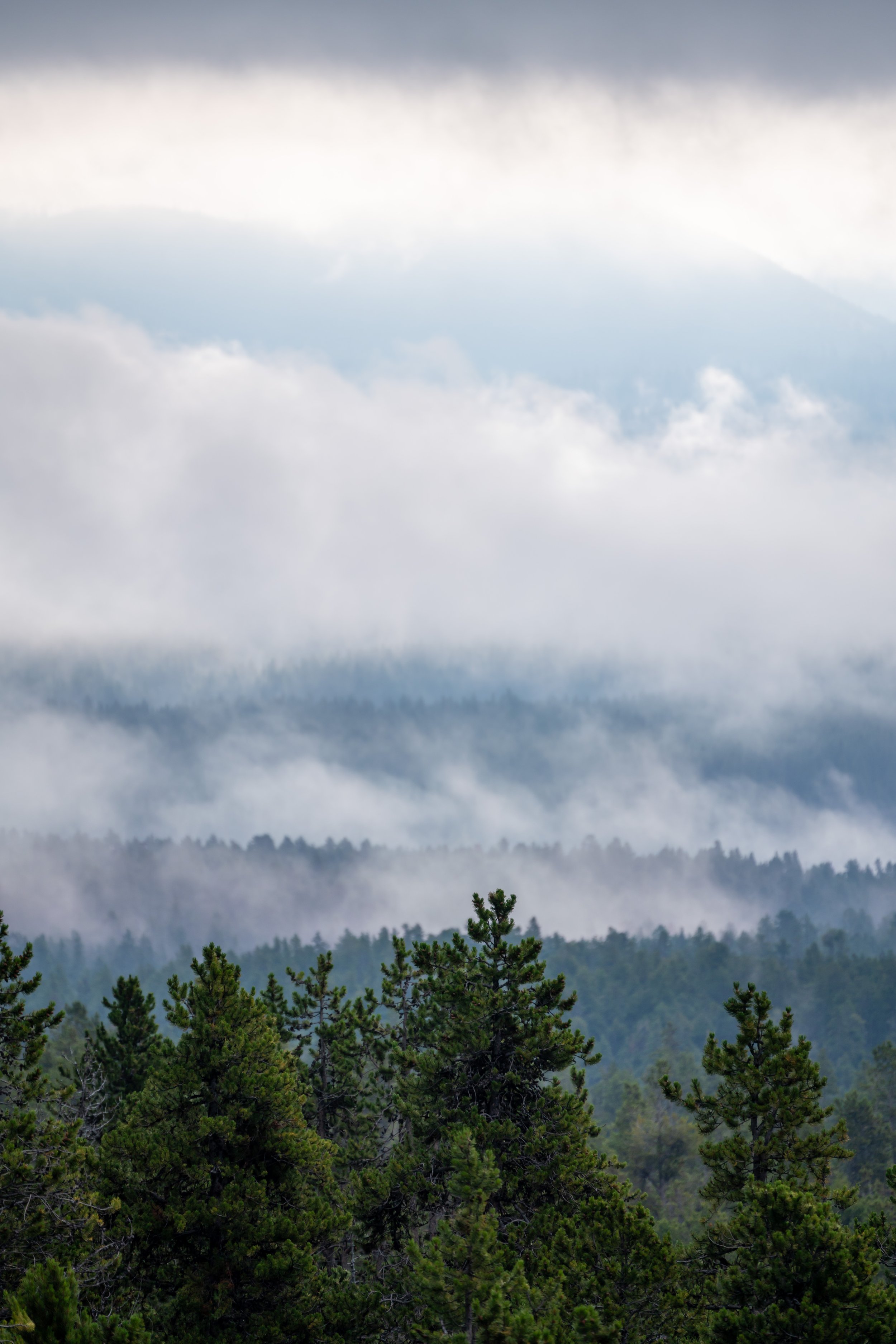
Afternoon thunderstorms in high Mountain West areas, such as this, are a serious concern during the summer monsoon season.
Even if the weather forecast doesn’t predict any storms, I can tell you from personal experience that they may show up out of nowhere and can put you and your entire group in a very dangerous situation.
I say this to emphasize the importance of turning around at the first sign of lightning, thunder, or even heavy cloud buildup. However, if you ever get caught in a storm unsuspectingly, follow the steps linked below to reduce the risk of getting struck.
U.S. Forest Service: Lightning Safety Tips
How Bad are the Mosquitoes?
If this is your first trip to Wyoming, you’re likely unfamiliar with how bad the mosquitoes will be. Locals don’t joke when they call the mosquito the Wyoming state bird, which is why I recommend grabbing this cheap bug net before going. You never know where and when you may want it because even midday in the most unsuspecting places, the mosquitoes can be out in clouds!

More Yellowstone Adventures
If you’re interested in reading about some more amazing adventures within Yellowstone National Park, check out my separate posts below!
Best Way to Find Places to Stay!
Wherever I travel, I love to start my search for places to stay on VRBO.
Even if I don’t end up booking through them, I think it’s one of the best ways to see what’s in the area!

Washington
Best Way to Book Rental Cars!
I travel quite a bit, and I know firsthand that finding a good rental car deal can be a challenge, but that’s why I recommend comparing all of your options with Discover Cars.
In short, Discover Cars is a well-known, reputable business that allows you to search for the best deal across companies, and they have the best full-refund cancellation policy I’ve ever seen, valid up to 72, or sometimes even 48, hours prior to your reservation!
Book Here: Discover Cars

Discover Cars!
Safety
From personal experience, I’ve seen that the Yellowstone-Teton area has one of the highest Grizzly Bear densities in the country. Even on the popular trails, you need to be hiking with bear spray and know how to react in the event of a Black or Grizzly Bear encounter.
Aside from wildlife, Wyoming, like any Mountain West state, is known for its violent afternoon thunderstorms, which are more typical in the warmer summer months than other times of the year.
That said, it’s important to check the local forecast before setting off on any adventure, as lightning strikes are not uncommon in and near mountain ranges across the West. I have personally been knocked to the ground by a strike that hit near me in the past, and I confidently say that it’s an experience you don’t want to live through. This is why I highly recommend checking Mountain Forecast for any high-elevation adventures you may be interested in—especially when climbing a summit.
Finally, know that when micro-spikes are necessary for an early-season adventure, micro-spikes are never supposed to be a substitute for conditions that require crampons.
As always, find the most up-to-date information and conditions on the official Yellowstone and Grand Teton National Park websites.
National Park Service: Grand Teton National Park / Yellowstone National Park


U.S. National Parks Pass
Did you know that the same America the Beautiful Pass that grants access to all 63 U.S. National Parks can be purchased in advance at REI?
Yes, you can save time when you arrive by purchasing your National Park pass, along with your other outdoor gear, at REI before traveling to the park!
More U.S. National Parks
If you’d like to read more about some of my best recommendations when visiting other U.S. National Parks, check out some of my other posts below!


Disclaimer
All information provided on this blog is for informational purposes only and is not intended to be a substitute for information or advice from qualified professionals or managing agencies.
Noah Lang Photography LLC makes no representations or warranties regarding the accuracy or completeness of the information provided here, and readers should use their own discretion, judgement, and seek professional advice where it is appropriate.
Furthermore, Noah Lang Photography LLC shall not be held responsible for any injuries, lost individuals, or legal issues arising from the use of information provided on this website, and if applicable, the above safety disclaimer should be referenced to provide a generic overview of the risks involved.
All said, the content on this blog is for the sole use of Noah Lang Photography LLC, and unauthorized use or reproduction of this content is strictly prohibited.
Disclosure
This post is not sponsored.
However, some of the links in this post are affiliate links, which means that I may earn a small commission if a purchase is made through one of those links. This commission comes at no additional cost to you, and I only recommend products that I personally use and believe will add value to my readers. Thank you for your support, which enables me to continue creating more!
To read the full privacy policy, click here.

About This Blog
Noah Lang Photography, also known as @noahawaii, is 100% reader-supported!
I do not accept guest articles or sponsored content of any kind on my blog, which is why, if you enjoy the outdoor and travel content I create, please consider buying me a coffee!
I appreciate your support, which helps me continue to keep this blog alive!